Transport Functions
Rail
Road
Hub Profile
Place type
Populated place
Region
Rhône-Alpes
Population
912
Time zone
Europe/Paris
Elevation
597 m
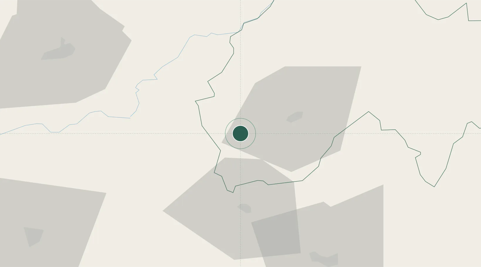
Location
Nearby Logistics Neighbours
Cities
- 1Sansac-de-Marmiesse10 km
- 2Laroquebrou13 km
- 3Aurillac18 km
- 4Bagnac-sur-Célé21 km
- 5Prayssac30 km
Ports
- 1Sete199 km
- 2Port-La-Nouvelle215 km
- 3Ambes219 km
- 4Bordeaux221 km
- 5Blaye230 km
Airports
- 1Aurillac airport16 km
- 2Rodez–Aveyron Airport53 km
- 3Brive Souillac airport63 km
- 4Cahors Lalbenque airport82 km
- 5Albi Le Sequestre airport105 km
Trade Zones
- 1ZFU Clermont-Ferrand123 km
- 2ZFU Toulouse152 km
- 3ZFU Saint-Etienne174 km
- 4ZFU Béziers186 km
- 5ZFU Montpellier189 km
DatabookThe Record of Consolidated Knowledge
France beyond logistics?