UN/LOCODE hub · France
FRM2T

Le Montat

44.3833°, 1.4500°
980
Population
1
Transport functions

Transport Functions

Multimodal
UN/LOCODE

Hub Profile

Place type
Populated place
GeoNames
Region
Occitanie
GeoNames
Population
980
GeoNames
Time zone
Europe/Paris
GeoNames
Elevation
267 m
GeoNames

Location

Location of FRM2T
Natural Earth 10m (public domain) · Occitanie · FRM2T · 44.38, 1.45GoogleOSMYandex

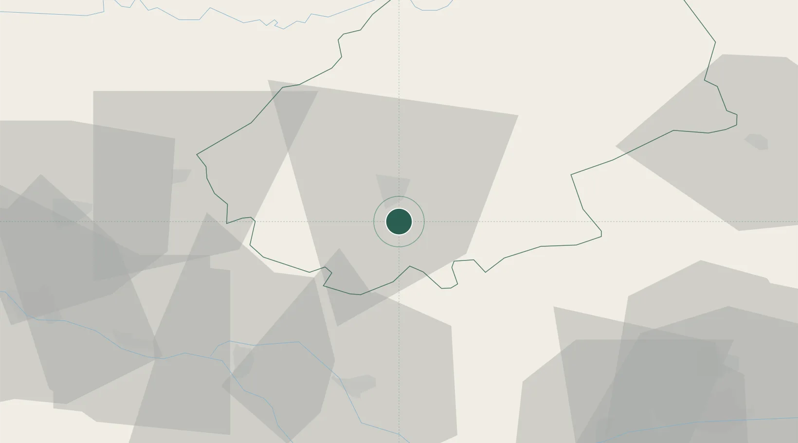
Nearby Logistics Neighbours

Cities
  1. 1Cahors8 km
  2. 2Trespoux-Rassiels8 km
  3. 3Fontanes8 km
  4. 4Douelle11 km
  5. 5Mercuès14 km
Nearest neighbours — logibook spatial index (haversine) over the source coordinates
Ports
  1. 1Bordeaux168 km
  2. 2Ambes172 km
  3. 3Blaye187 km
  4. 4Pauillac196 km
  5. 5Port-La-Nouvelle200 km
Nearest neighbours — logibook spatial index (haversine) over the source coordinates
Airports
  1. 1Cahors Lalbenque airport4 km
  2. 2Agen La Garenne airport72 km
  3. 3Brive Souillac airport73 km
  4. 4Albi Le Sequestre airport74 km
  5. 5Rodez–Aveyron Airport82 km
Nearest neighbours — logibook spatial index (haversine) over the source coordinates
Trade Zones
  1. 1ZFU Toulouse87 km
  2. 2Port de Bordeaux168 km
  3. 3ZFU Hauts de Garonne168 km
  4. 4ZFU Béziers183 km
  5. 5ZFU Clermont-Ferrand202 km
Nearest neighbours — logibook spatial index (haversine) over the source coordinates
DatabookThe Record of Consolidated Knowledge
France beyond logistics?
Browse databook

All Sources

LocationsUN/LOCODE
UN/LOCODE — free
LocationsGeoNames
CC BY 4.0
Portsthe NGA World Port Index
Public domain (US gov)
AirportsOurAirports
Public domain
Trade Zonesthe World Bank SEZ database
CC BY 4.0
Trade ZonesOpen Zone Map
CC BY
← France locations