Transport Functions
Multimodal
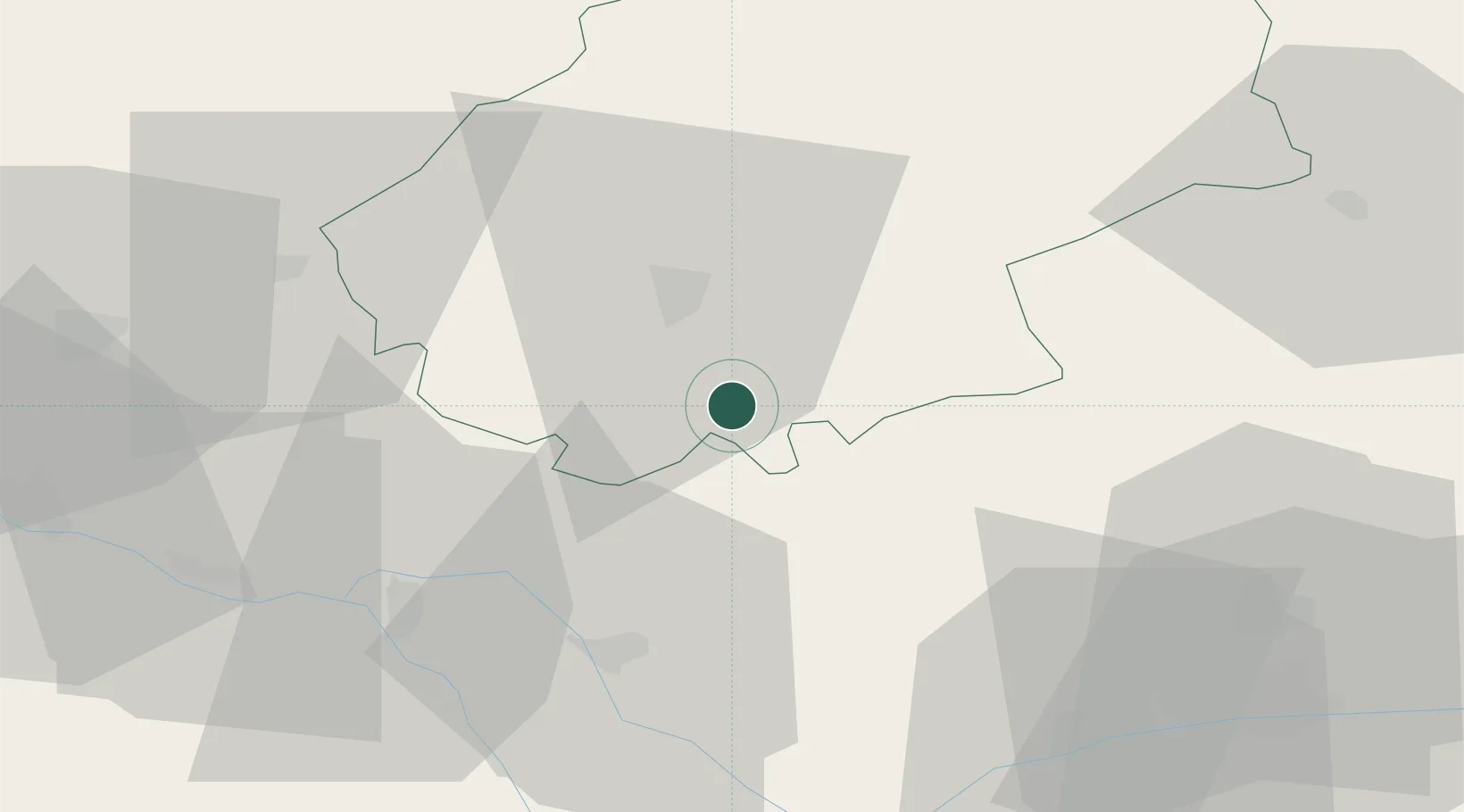
Hub Profile
Place type
Populated place
Region
Occitanie
Population
395
Time zone
Europe/Paris
Elevation
214 m
Location
Nearby Logistics Neighbours
Cities
- 1Belfort-du-Quercy7 km
- 2Le Montat8 km
- 3Trespoux-Rassiels15 km
- 4Cahors16 km
- 5Douelle20 km
Ports
- 1Bordeaux175 km
- 2Ambes179 km
- 3Port-La-Nouvelle192 km
- 4Blaye194 km
- 5Pauillac203 km
Airports
Trade Zones
- 1ZFU Toulouse79 km
- 2ZFU Hauts de Garonne174 km
- 3Port de Bordeaux174 km
- 4ZFU Béziers176 km
- 5ZFU Montpellier204 km
DatabookThe Record of Consolidated Knowledge
France beyond logistics?