Transport Functions
Road
Multimodal
Hub Profile
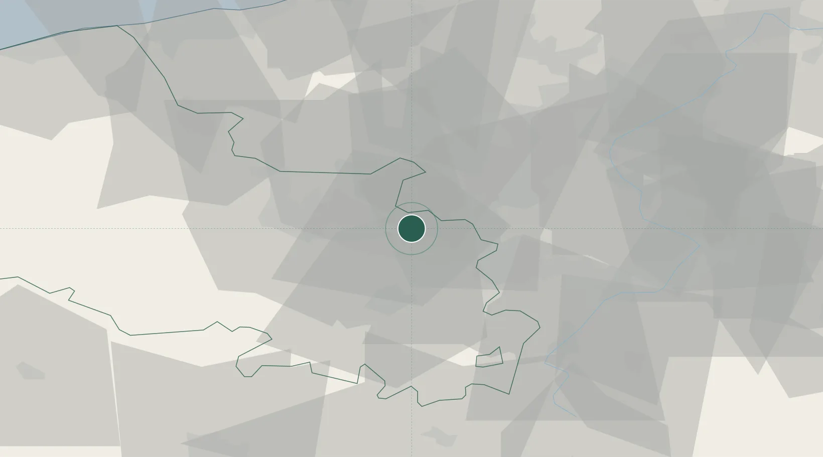
Place type
Populated place
Region
Hauts-de-France
Population
281
Time zone
Europe/Paris
Elevation
29 m
Location
Nearby Logistics Neighbours
Cities
- 1Pont-à-Vendin4 km
- 2Haisnes4 km
- 3Lens6 km
- 4Bauvin6 km
- 5Harnes6 km
Ports
- 1Nieuwpoort73 km
- 2Dunkerque Port Est73 km
- 3Gravelines76 km
- 4Oostende84 km
- 5Bruges88 km
Airports
DatabookThe Record of Consolidated Knowledge
France beyond logistics?