Transport Functions
Port
Multimodal
Hub Profile
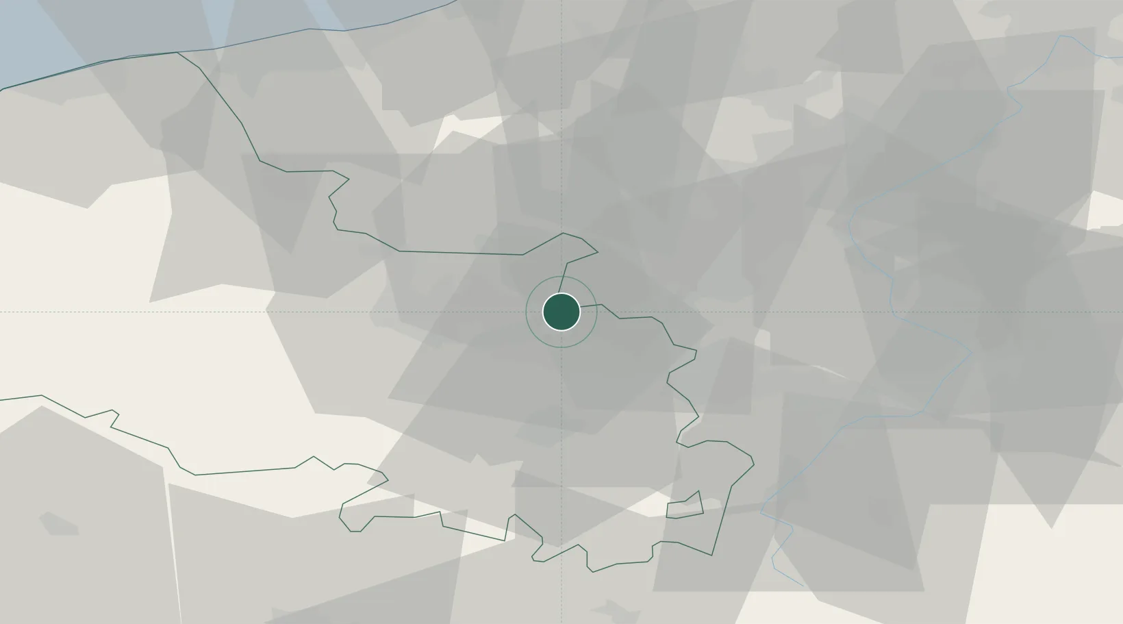
Place type
Populated place
Region
Hauts-de-France
Population
4,436
Time zone
Europe/Paris
Elevation
27 m
Location
Nearby Logistics Neighbours
Cities
- 1La Bassée2 km
- 2Bénifontaine4 km
- 3Bauvin7 km
- 4Sailly-Labourse7 km
- 5Sainghin-en-Weppes8 km
Ports
- 1Nieuwpoort69 km
- 2Dunkerque Port Est69 km
- 3Gravelines72 km
- 4Oostende80 km
- 5Calais84 km
Airports
DatabookThe Record of Consolidated Knowledge
France beyond logistics?