UN/LOCODE hub · France
FR5TB

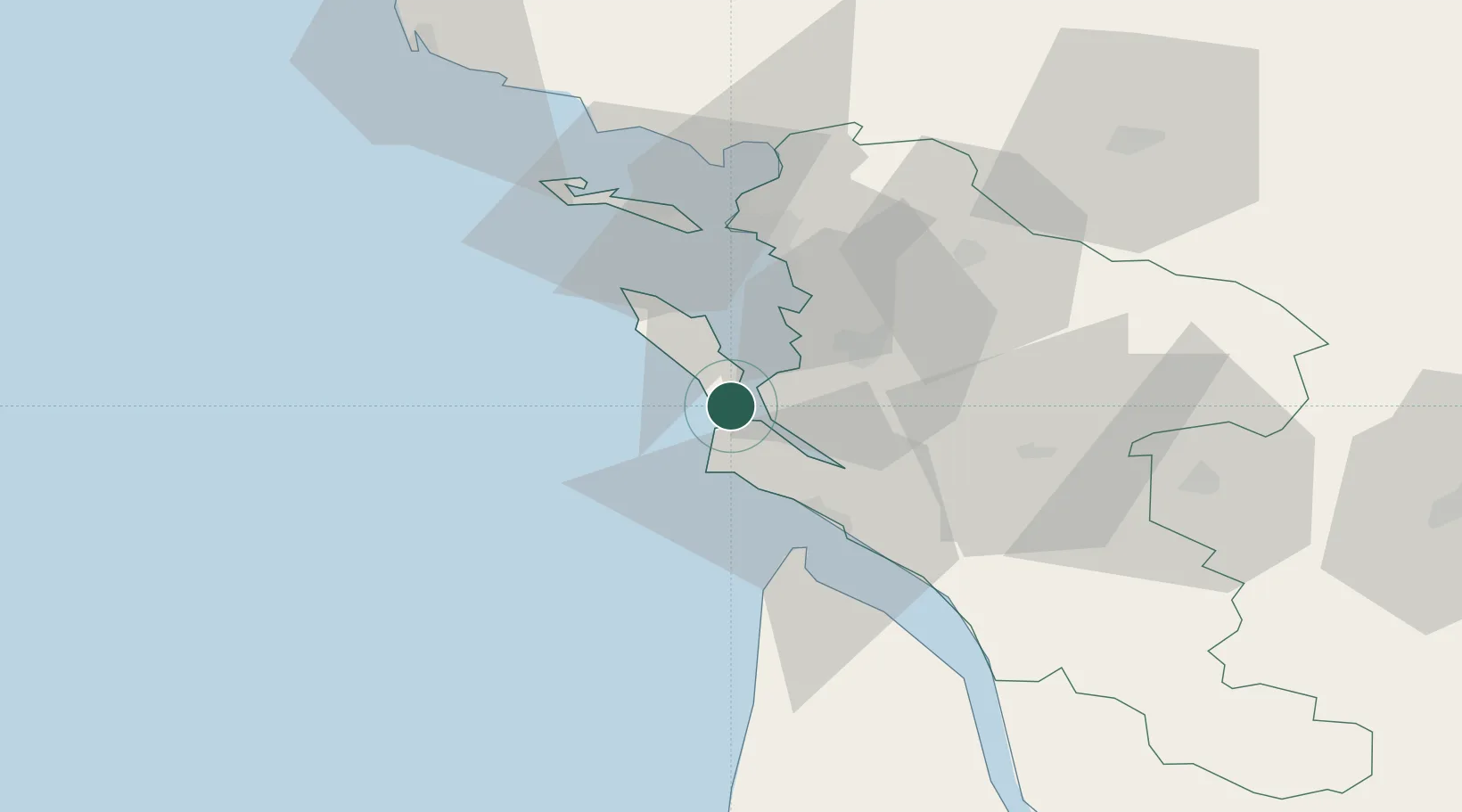
Saint-Trojan-les-Bains

45.8333°, -1.2000°
1,474
Population
2
Transport functions

Transport Functions

Port
Road
UN/LOCODE

Hub Profile

Place type
Populated place
GeoNames
Region
Nouvelle-Aquitaine
GeoNames
Population
1,474
GeoNames
Time zone
Europe/Paris
GeoNames
Elevation
8 m
GeoNames

Location

Location of FR5TB
Natural Earth 10m (public domain) · Nouvelle-Aquitaine · FR5TB · 45.83, -1.20GoogleOSMYandex

Nearby Logistics Neighbours

Cities
  1. 1Bourcefranc-le-Chapus4 km
  2. 2Hiers-Brouage11 km
  3. 3Les Mathes14 km
  4. 4Chaillevette16 km
  5. 5Saint-Nazaire-sur-Charente17 km
Nearest neighbours — logibook spatial index (haversine) over the source coordinates
Ports
  1. 1Rochefort22 km
  2. 2Tonnay Charente26 km
  3. 3Le Verdon34 km
  4. 4La Rochelle35 km
  5. 5La Pallice37 km
Nearest neighbours — logibook spatial index (haversine) over the source coordinates
Airports
  1. 1Rochefort-Saint-Agnant (BA 721) Airport18 km
  2. 2Royan-Médis Airport29 km
  3. 3La Rochelle Île de Ré Airport39 km
  4. 4Cognac-Châteaubernard (BA 709) Air Base71 km
  5. 5Niort - Marais Poitevin Airport82 km
Nearest neighbours — logibook spatial index (haversine) over the source coordinates
Trade Zones
  1. 1ZFU La Rochelle37 km
  2. 2Port de Bordeaux115 km
  3. 3ZFU Hauts de Garonne122 km
  4. 4ZFU Nantes et Saint-Herblain159 km
  5. 5ZFU Saint-Nazaire180 km
Nearest neighbours — logibook spatial index (haversine) over the source coordinates
DatabookThe Record of Consolidated Knowledge
France beyond logistics?
Browse databook

All Sources

LocationsUN/LOCODE
UN/LOCODE — free
LocationsGeoNames
CC BY 4.0
Portsthe NGA World Port Index
Public domain (US gov)
AirportsOurAirports
Public domain
Trade Zonesthe World Bank SEZ database
CC BY 4.0
Trade ZonesOpen Zone Map
CC BY
← France locations