Transport Functions
Multimodal
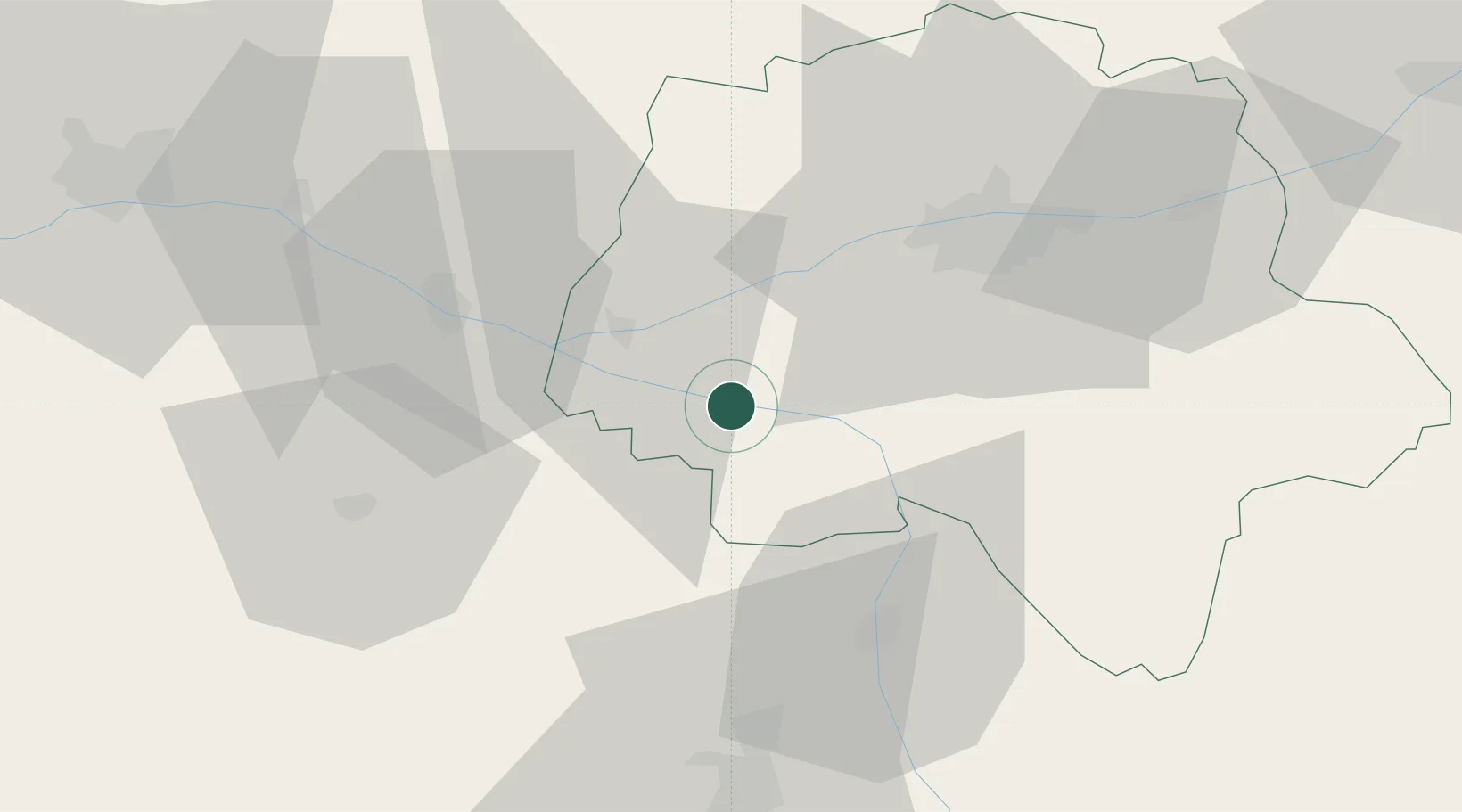
Hub Profile
Place type
Populated place
Region
Centre-Val de Loire
Population
240
Time zone
Europe/Paris
Elevation
35 m
Location
Nearby Logistics Neighbours
Cities
- 1Rivière5 km
- 2Ligré5 km
- 3Lémeré6 km
- 4Crissay-sur-Manse12 km
- 5Beaumont-en-Véron14 km
Ports
- 1Nantes144 km
- 2La Rochelle157 km
- 3La Pallice160 km
- 4Tonnay Charente163 km
- 5Rochefort166 km
Airports
- 1Tours Val de Loire Airport45 km
- 2Poitiers-Biard Airport61 km
- 3Angers Marcé airport68 km
- 4Le Mans-Arnage Airport91 km
- 5Niort - Marais Poitevin Airport107 km
Trade Zones
- 1ZFU Angers80 km
- 2ZFU Blois86 km
- 3ZFU Le Mans96 km
- 4ZFU Orléans140 km
- 5ZFU Alençon145 km
DatabookThe Record of Consolidated Knowledge
France beyond logistics?