Transport Functions
Road
Multimodal
Hub Profile
Place type
Populated place
Region
Bourgogne
Population
314
Time zone
Europe/Paris
Elevation
173 m
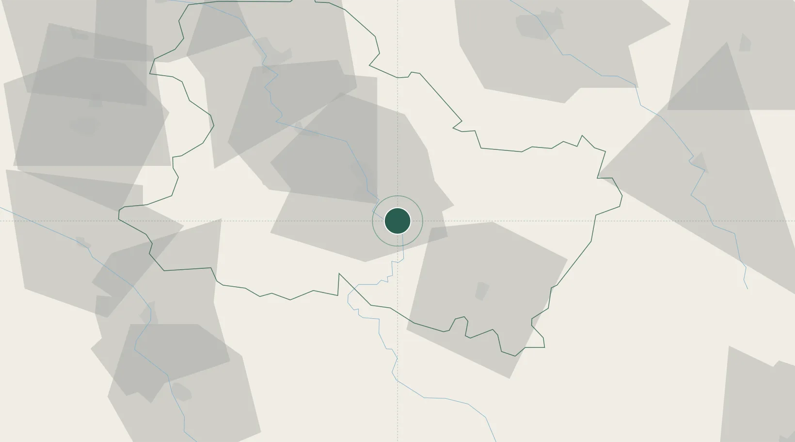
Location
Nearby Logistics Neighbours
Cities
- 1Cravant4 km
- 2Chitry6 km
- 3Coulanges-la-Vineuse7 km
- 4Quenne8 km
- 5Montallery8 km
Ports
- 1Port Of Rouen272 km
- 2Dieppe311 km
- 3Le Treport311 km
- 4Saint-Valery-Sur-Somme312 km
- 5Honfleur317 km
Airports
- 1Auxerre Branches airport20 km
- 2Troyes-Barberey Airport72 km
- 3Nevers-Fourchambault Airport90 km
- 4Avord (BA 702) Air Base107 km
- 5Dijon Longvic airport118 km
Trade Zones
- 1ZFU Sens61 km
- 2ZFU La Chapelle Saint-Luc, Les Noës-près-Troyes, Troyes, Sainte-Savine71 km
- 3ZFU Montereau-Fault-Yonne92 km
- 4ZFU Chenôve110 km
- 5ZFU Melun119 km
DatabookThe Record of Consolidated Knowledge
France beyond logistics?