Transport Functions
Multimodal
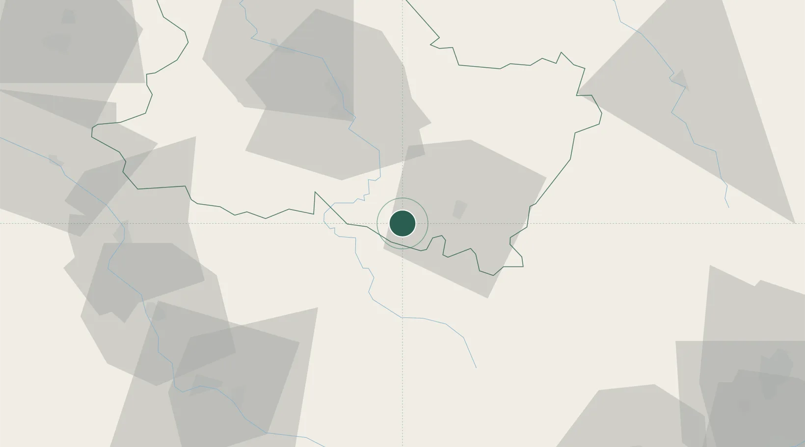
Hub Profile
Place type
Populated place
Region
Bourgogne
Population
293
Time zone
Europe/Paris
Elevation
147 m
Location
Nearby Logistics Neighbours
Cities
- 1Saint-Père1 km
- 2Tharoiseau4 km
- 3Pouilly7 km
- 4Étaule14 km
- 5Saint-Germain-des-Champs14 km
Ports
- 1Port Of Rouen296 km
- 2Dieppe337 km
- 3Le Treport338 km
- 4Honfleur339 km
- 5Saint-Valery-Sur-Somme340 km
Airports
- 1Auxerre Branches airport47 km
- 2Nevers-Fourchambault Airport71 km
- 3Avord (BA 702) Air Base96 km
- 4Troyes-Barberey Airport97 km
- 5Dijon Longvic airport103 km
Trade Zones
- 1ZFU Sens89 km
- 2ZFU Chenôve95 km
- 3ZFU La Chapelle Saint-Luc, Les Noës-près-Troyes, Troyes, Sainte-Savine95 km
- 4ZFU Bourges116 km
- 5ZFU Montereau-Fault-Yonne119 km
DatabookThe Record of Consolidated Knowledge
France beyond logistics?