Transport Functions
Port
Road
Hub Profile
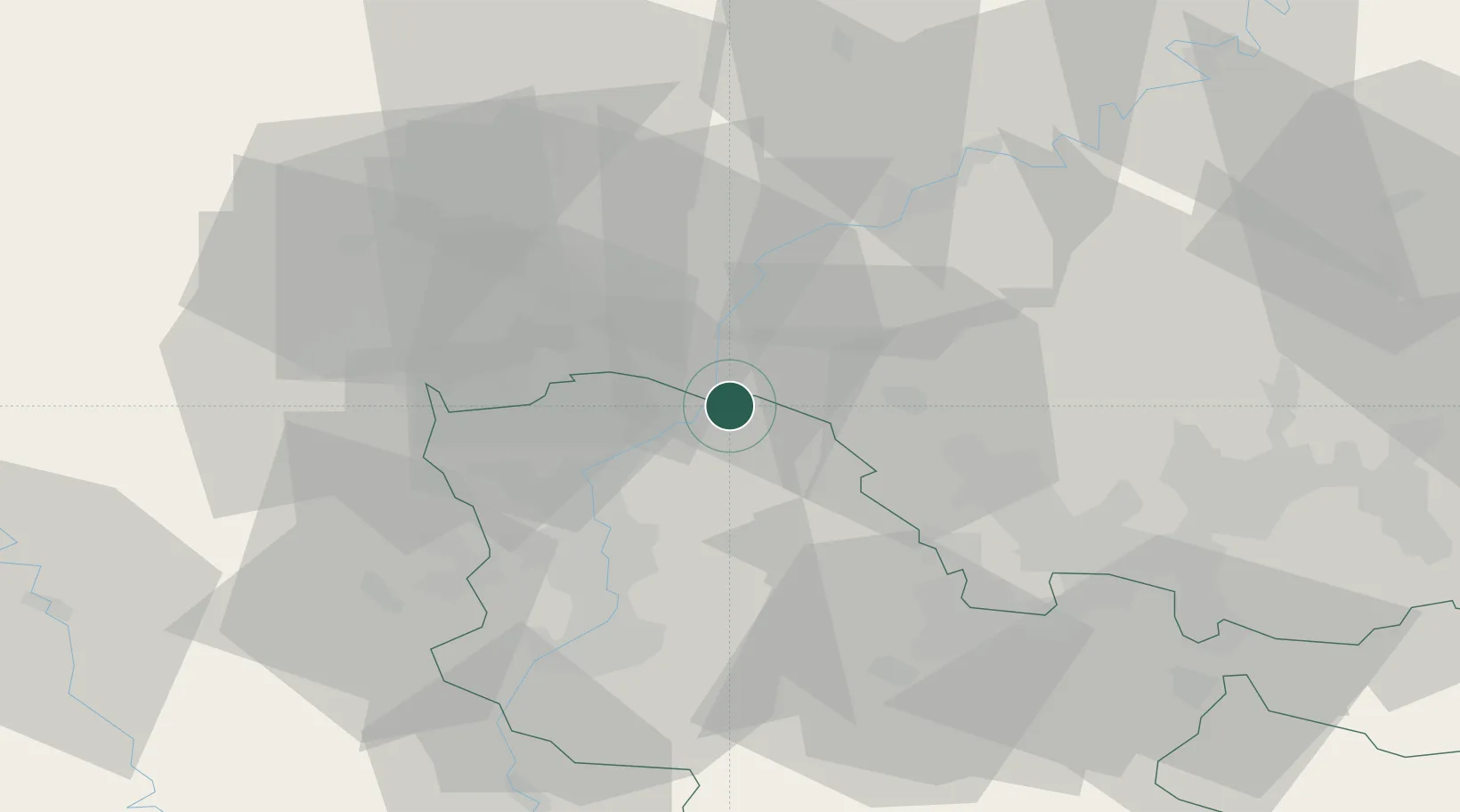
Place type
Populated place
Region
Grand Est
Population
835
Time zone
Europe/Paris
Elevation
158 m
Location
Nearby Logistics Neighbours
Cities
- 1Bech-Kleinmacher9 km
- 2Inglange12 km
- 3Palzem13 km
- 4Manom16 km
- 5Moutfort17 km
Airports
Trade Zones
- 1Luxembourg Free Port24 km
- 2ZFU Woippy-Metz37 km
- 3ZFU Metz41 km
- 4ZFU La Cité Behren-lès-Forbach51 km
- 5ZFU Maxéville, Laxou, et de Nancy84 km
DatabookThe Record of Consolidated Knowledge
France beyond logistics?