UN/LOCODE hub · France
FRGL6

Inglange

49.3500°, 6.3000°
307
Population
1
Transport functions

Transport Functions

Multimodal
UN/LOCODE

Hub Profile

Place type
Populated place
GeoNames
Region
Grand Est
GeoNames
Population
307
GeoNames
Time zone
Europe/Paris
GeoNames
Elevation
171 m
GeoNames

Location

Location of FRGL6
Natural Earth 10m (public domain) · Grand Est · FRGL6 · 49.35, 6.30GoogleOSMYandex

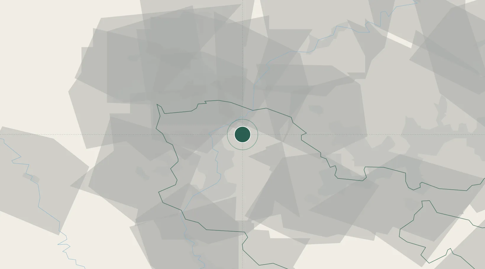
Nearby Logistics Neighbours

Cities
  1. 1Manom9 km
  2. 2Illange9 km
  3. 3Thionville10 km
  4. 4Apach12 km
  5. 5Richemont12 km
Nearest neighbours — logibook spatial index (haversine) over the source coordinates
Ports
  1. 1Bruxelles219 km
  2. 2Antwerpen248 km
  3. 3Ghent264 km
  4. 4Terneuzen284 km
  5. 5Hansweert285 km
Nearest neighbours — logibook spatial index (haversine) over the source coordinates
Airports
  1. 1Luxembourg-Findel International Airport31 km
  2. 2Metz-Nancy-Lorraine Airport41 km
  3. 3Lieutenant Étienne Mantoux Air Base48 km
  4. 4Saarbrücken Airport61 km
  5. 5Verdun-Le Rozelier Airfield65 km
Nearest neighbours — logibook spatial index (haversine) over the source coordinates
Trade Zones
  1. 1ZFU Woippy-Metz25 km
  2. 2ZFU Metz29 km
  3. 3Luxembourg Free Port33 km
  4. 4ZFU La Cité Behren-lès-Forbach50 km
  5. 5ZFU Maxéville, Laxou, et de Nancy72 km
Nearest neighbours — logibook spatial index (haversine) over the source coordinates
DatabookThe Record of Consolidated Knowledge
France beyond logistics?
Browse databook

All Sources

LocationsUN/LOCODE
UN/LOCODE — free
LocationsGeoNames
CC BY 4.0
Portsthe NGA World Port Index
Public domain (US gov)
AirportsOurAirports
Public domain
Trade Zonesthe World Bank SEZ database
CC BY 4.0
Trade ZonesOpen Zone Map
CC BY
← France locations