UN/LOCODE hub · Luxembourg
LUBKM
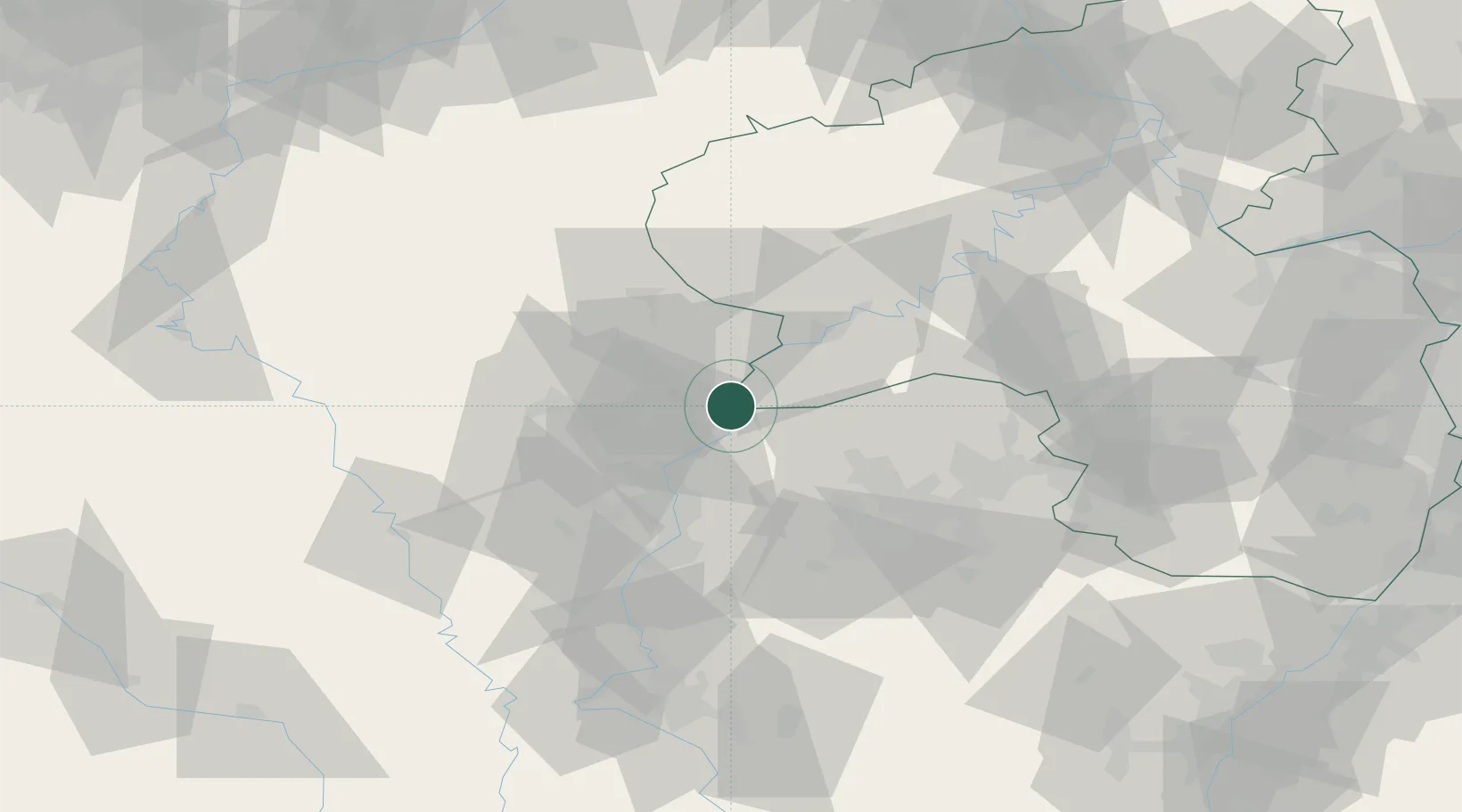
Bech-Kleinmacher
49.5333°, 6.3500°
685
Population
2
Transport functions
Transport Functions
Port
Road
Hub Profile
Place type
Populated place
Region
Remich
Population
685
Time zone
Europe/Luxembourg
Elevation
144 m
Location
Nearby Logistics Neighbours
Cities
- 1Palzem4 km
- 2Moutfort8 km
- 3Wormeldange8 km
- 4Oetrange9 km
- 5Apach9 km
Airports
Trade Zones
- 1Luxembourg Free Port15 km
- 2ZFU Woippy-Metz45 km
- 3ZFU Metz50 km
- 4ZFU La Cité Behren-lès-Forbach58 km
- 5ZFU Maxéville, Laxou, et de Nancy93 km
DatabookThe Record of Consolidated Knowledge
Luxembourg beyond logistics?