UN/LOCODE hub · France
FRDUT

Lanildut

48.4833°, -4.7500°
881
Population
1
Transport functions

Transport Functions

Port
UN/LOCODE

Hub Profile

Place type
Populated place
GeoNames
Region
Brittany
GeoNames
Population
881
GeoNames
Time zone
Europe/Paris
GeoNames
Elevation
20 m
GeoNames

Location

Location of FRDUT
Natural Earth 10m (public domain) · Brittany · FRDUT · 48.48, -4.75GoogleOSMYandex

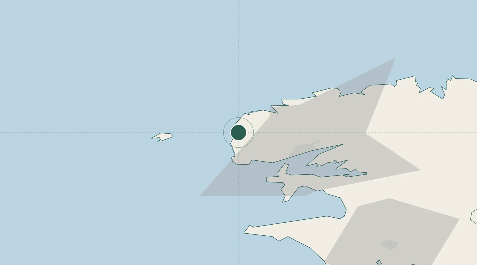
Nearby Logistics Neighbours

Cities
  1. 1Lampaul-Plouarzel4 km
  2. 2Plourin5 km
  3. 3Landunvez6 km
  4. 4Le Conquet13 km
  5. 5Le Conquet13 km
Nearest neighbours — logibook spatial index (haversine) over the source coordinates
Ports
  1. 1Rade De Brest22 km
  2. 2Port De Roscoff-Bloscon63 km
  3. 3Morlaix68 km
  4. 4Concarneau92 km
  5. 5Treguier116 km
Nearest neighbours — logibook spatial index (haversine) over the source coordinates
Airports
  1. 1Ouessant Airport23 km
  2. 2Brest Bretagne airport25 km
  3. 3Lanvéoc-Poulmic Air Base32 km
  4. 4Landivisiau Air Base44 km
  5. 5Morlaix-Ploujean Airport70 km
Nearest neighbours — logibook spatial index (haversine) over the source coordinates
Trade Zones
  1. 1Oceansgate Plymouth214 km
  2. 2Cornwall Newquay Aerohub Enterprise Zone217 km
  3. 3Heart of the South West Enterprise Zone218 km
  4. 4ZFU Saint-Nazaire228 km
  5. 5ZFU Cherbourg-Octeville259 km
Nearest neighbours — logibook spatial index (haversine) over the source coordinates
DatabookThe Record of Consolidated Knowledge
France beyond logistics?
Browse databook

All Sources

LocationsUN/LOCODE
UN/LOCODE — free
LocationsGeoNames
CC BY 4.0
Portsthe NGA World Port Index
Public domain (US gov)
AirportsOurAirports
Public domain
Trade Zonesthe World Bank SEZ database
CC BY 4.0
Trade ZonesOpen Zone Map
CC BY
← France locations