UN/LOCODE hub · France
FRZEU
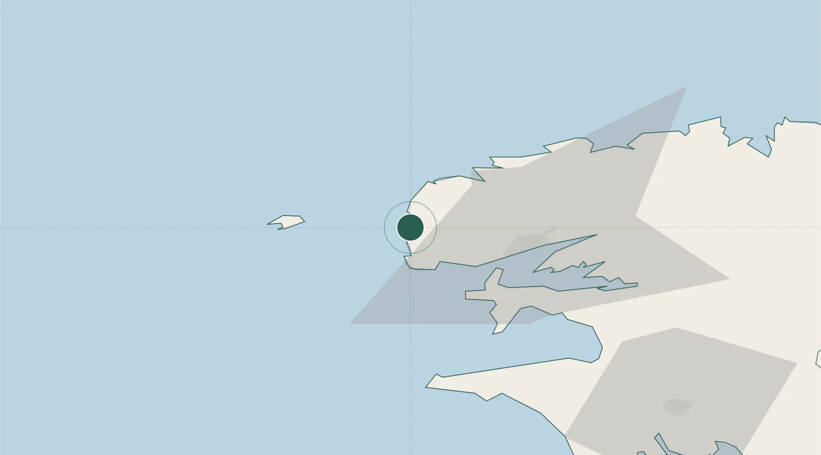
Lampaul-Plouarzel
48.4500°, -4.7667°
2,010
Population
1
Transport functions
Transport Functions
Multimodal
Hub Profile
Place type
Populated place
Region
Brittany
Population
2,010
Time zone
Europe/Paris
Elevation
40 m
Location
Nearby Logistics Neighbours
Cities
- 1Lanildut4 km
- 2Plourin8 km
- 3Le Conquet9 km
- 4Le Conquet9 km
- 5Landunvez10 km
Ports
- 1Rade De Brest21 km
- 2Port De Roscoff-Bloscon66 km
- 3Morlaix70 km
- 4Concarneau91 km
- 5Treguier119 km
Airports
- 1Ouessant Airport22 km
- 2Brest Bretagne airport26 km
- 3Lanvéoc-Poulmic Air Base30 km
- 4Landivisiau Air Base46 km
- 5Quimper-Cornouaille Airport69 km
Trade Zones
- 1Oceansgate Plymouth218 km
- 2Cornwall Newquay Aerohub Enterprise Zone221 km
- 3Heart of the South West Enterprise Zone222 km
- 4ZFU Saint-Nazaire227 km
- 5ZFU Cherbourg-Octeville262 km
DatabookThe Record of Consolidated Knowledge
France beyond logistics?