UN/LOCODE hub · France
FRGXN

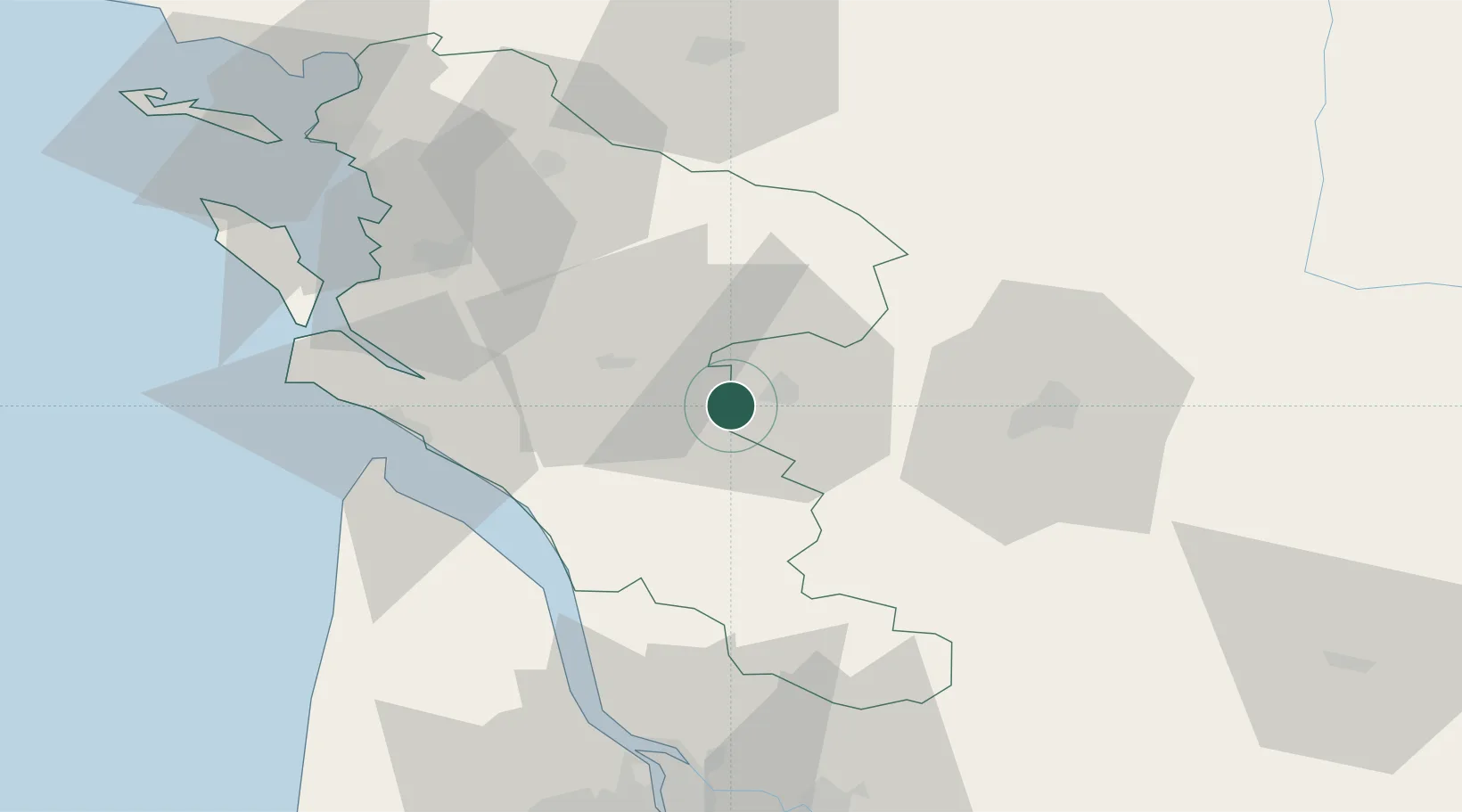
Salignac-sur-Charente

45.6667°, -0.4167°
578
Population
2
Transport functions

Transport Functions

Rail
Road
UN/LOCODE

Hub Profile

Place type
Populated place
GeoNames
Region
Nouvelle-Aquitaine
GeoNames
Population
578
GeoNames
Time zone
Europe/Paris
GeoNames
Elevation
13 m
GeoNames

Location

Location of FRGXN
Natural Earth 10m (public domain) · Nouvelle-Aquitaine · FRGXN · 45.67, -0.42GoogleOSMYandex

Nearby Logistics Neighbours

Cities
  1. 1Javrezac6 km
  2. 2Châteaubernard7 km
  3. 3Pérignac7 km
  4. 4Celles8 km
  5. 5Genté9 km
Nearest neighbours — logibook spatial index (haversine) over the source coordinates
Ports
  1. 1Tonnay Charente48 km
  2. 2Rochefort51 km
  3. 3Le Verdon51 km
  4. 4Pauillac58 km
  5. 5Blaye62 km
Nearest neighbours — logibook spatial index (haversine) over the source coordinates
Airports
  1. 1Cognac-Châteaubernard (BA 709) Air Base8 km
  2. 2Royan-Médis Airport43 km
  3. 3Angoulême Brie-Champniers airport50 km
  4. 4Rochefort-Saint-Agnant (BA 721) Airport50 km
  5. 5Niort - Marais Poitevin Airport72 km
Nearest neighbours — logibook spatial index (haversine) over the source coordinates
Trade Zones
  1. 1ZFU La Rochelle83 km
  2. 2Port de Bordeaux85 km
  3. 3ZFU Hauts de Garonne94 km
  4. 4ZFU Nantes et Saint-Herblain199 km
  5. 5ZFU Angers202 km
Nearest neighbours — logibook spatial index (haversine) over the source coordinates
DatabookThe Record of Consolidated Knowledge
France beyond logistics?
Browse databook

All Sources

LocationsUN/LOCODE
UN/LOCODE — free
LocationsGeoNames
CC BY 4.0
Portsthe NGA World Port Index
Public domain (US gov)
AirportsOurAirports
Public domain
Trade Zonesthe World Bank SEZ database
CC BY 4.0
Trade ZonesOpen Zone Map
CC BY
← France locations