Transport Functions
Multimodal
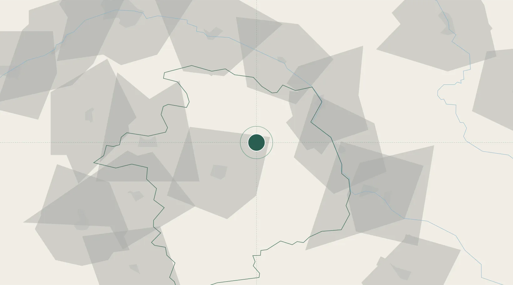
Hub Profile
Place type
Populated place
Region
Centre-Val de Loire
Population
430
Time zone
Europe/Paris
Elevation
221 m
Location
Nearby Logistics Neighbours
Cities
- 1Aubinges2 km
- 2Montigny6 km
- 3Neuilly-en-Sancerre10 km
- 4Veaugues12 km
- 5Vignoux-sous-les-Aix12 km
Ports
- 1Port Of Rouen271 km
- 2Honfleur300 km
- 3Deauville302 km
- 4Tonnay Charente304 km
- 5Rochefort307 km
Airports
- 1Avord (BA 702) Air Base20 km
- 2Bourges airport26 km
- 3Nevers-Fourchambault Airport47 km
- 4Châteauroux Déols airport78 km
- 5Auxerre Branches airport96 km
Trade Zones
- 1ZFU Bourges27 km
- 2ZFU Orléans91 km
- 3ZFU Blois107 km
- 4ZFU Sens118 km
- 5ZFU Montereau-Fault-Yonne131 km
DatabookThe Record of Consolidated Knowledge
France beyond logistics?