UN/LOCODE hub · Finland
FITVS

Taivassalo (Tövsala)

60.5667°, 21.6000°
1
Transport functions

Transport Functions

Port
UN/LOCODE

Hub Profile

Region
19
GeoNames

Location

Location of FITVS
Natural Earth 10m (public domain) · 19 · FITVS · 60.57, 21.60GoogleOSMYandex

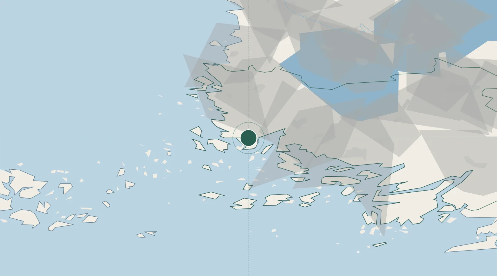
Nearby Logistics Neighbours

Cities
  1. 1Rouhu5 km
  2. 2Velkua12 km
  3. 3Vinkkilä14 km
  4. 4Kaskinen (Kaskö)16 km
  5. 5Iniö22 km
Nearest neighbours — logibook spatial index (haversine) over the source coordinates
Ports
  1. 1Naantali25 km
  2. 2Uusikaupunki28 km
  3. 3Turku37 km
  4. 4Pargas41 km
  5. 5Rauma63 km
Nearest neighbours — logibook spatial index (haversine) over the source coordinates
Airports
  1. 1Turku Airport37 km
  2. 2Pori Airport100 km
  3. 3Mariehamn Airport106 km
  4. 4Tampere-Pirkkala Airport143 km
  5. 5Helsinki Vantaa Airport187 km
Nearest neighbours — logibook spatial index (haversine) over the source coordinates
Trade Zones
  1. 1Turku Free Zone36 km
  2. 2Freeport of Hanko108 km
  3. 3Paldiski Free Zone194 km
  4. 4Stockholm Free Zone237 km
  5. 5Muuga Free Zone237 km
Nearest neighbours — logibook spatial index (haversine) over the source coordinates
DatabookThe Record of Consolidated Knowledge
Finland beyond logistics?
Browse databook

All Sources

LocationsUN/LOCODE
UN/LOCODE — free
Portsthe NGA World Port Index
Public domain (US gov)
AirportsOurAirports
Public domain
Trade Zonesthe World Bank SEZ database
CC BY 4.0
Trade ZonesOpen Zone Map
CC BY
← Finland locations