Transport Functions
Port
Hub Profile
Place type
Populated place
Region
Southwest Finland
Time zone
Europe/Helsinki
Elevation
1 m
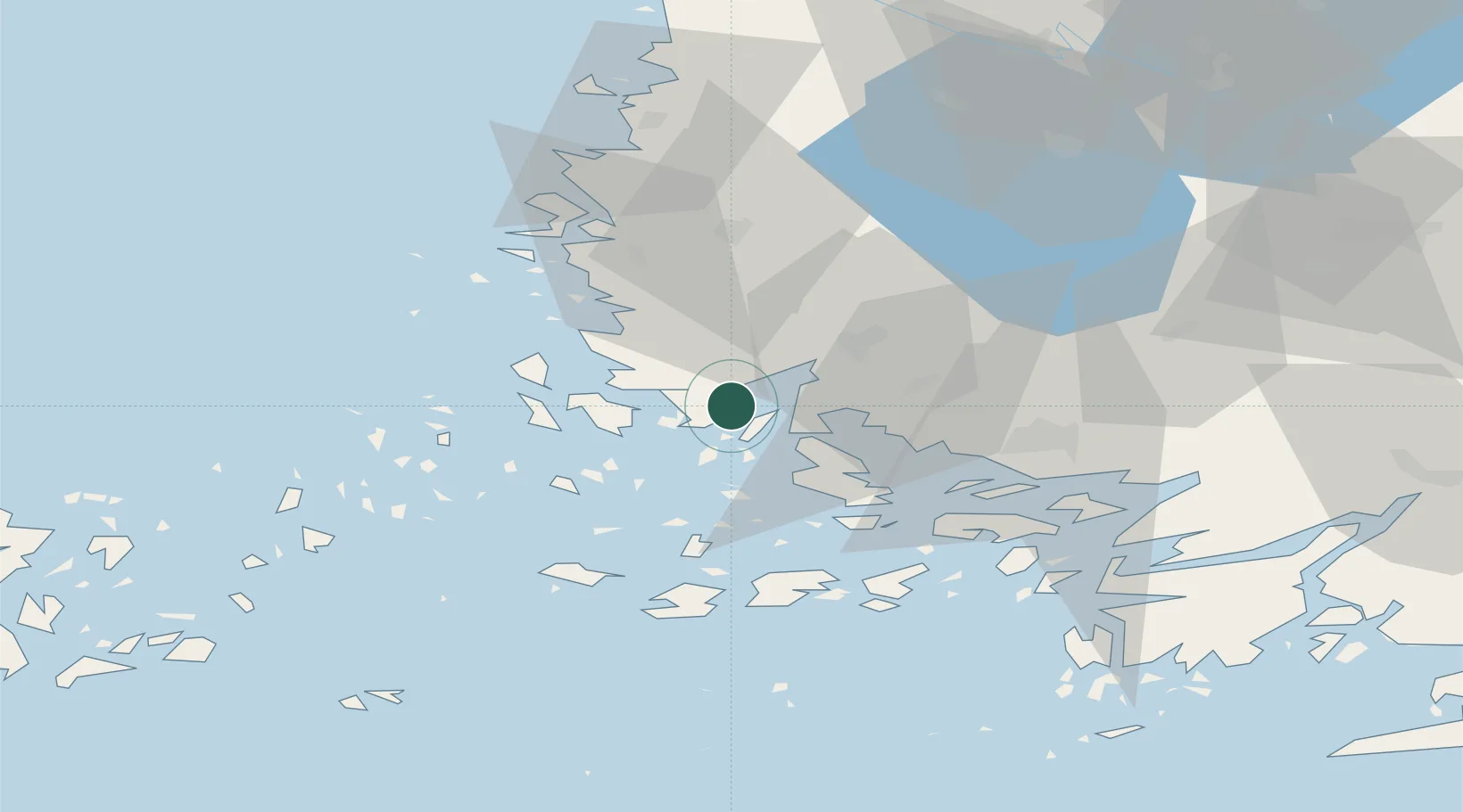
Location
Nearby Logistics Neighbours
Cities
- 1Taivassalo (Tövsala)5 km
- 2Velkua7 km
- 3Kaskinen (Kaskö)15 km
- 4Vinkkilä17 km
- 5Iniö21 km
Ports
- 1Naantali21 km
- 2Turku32 km
- 3Uusikaupunki33 km
- 4Pargas35 km
- 5Rauma67 km
Airports
- 1Turku Airport33 km
- 2Pori Airport104 km
- 3Mariehamn Airport108 km
- 4Tampere-Pirkkala Airport143 km
- 5Helsinki Vantaa Airport183 km
Trade Zones
- 1Turku Free Zone32 km
- 2Freeport of Hanko103 km
- 3Paldiski Free Zone189 km
- 4Muuga Free Zone232 km
- 5Stockholm Free Zone238 km
DatabookThe Record of Consolidated Knowledge
Finland beyond logistics?