Transport Functions
Rail
Road
Hub Profile
Place type
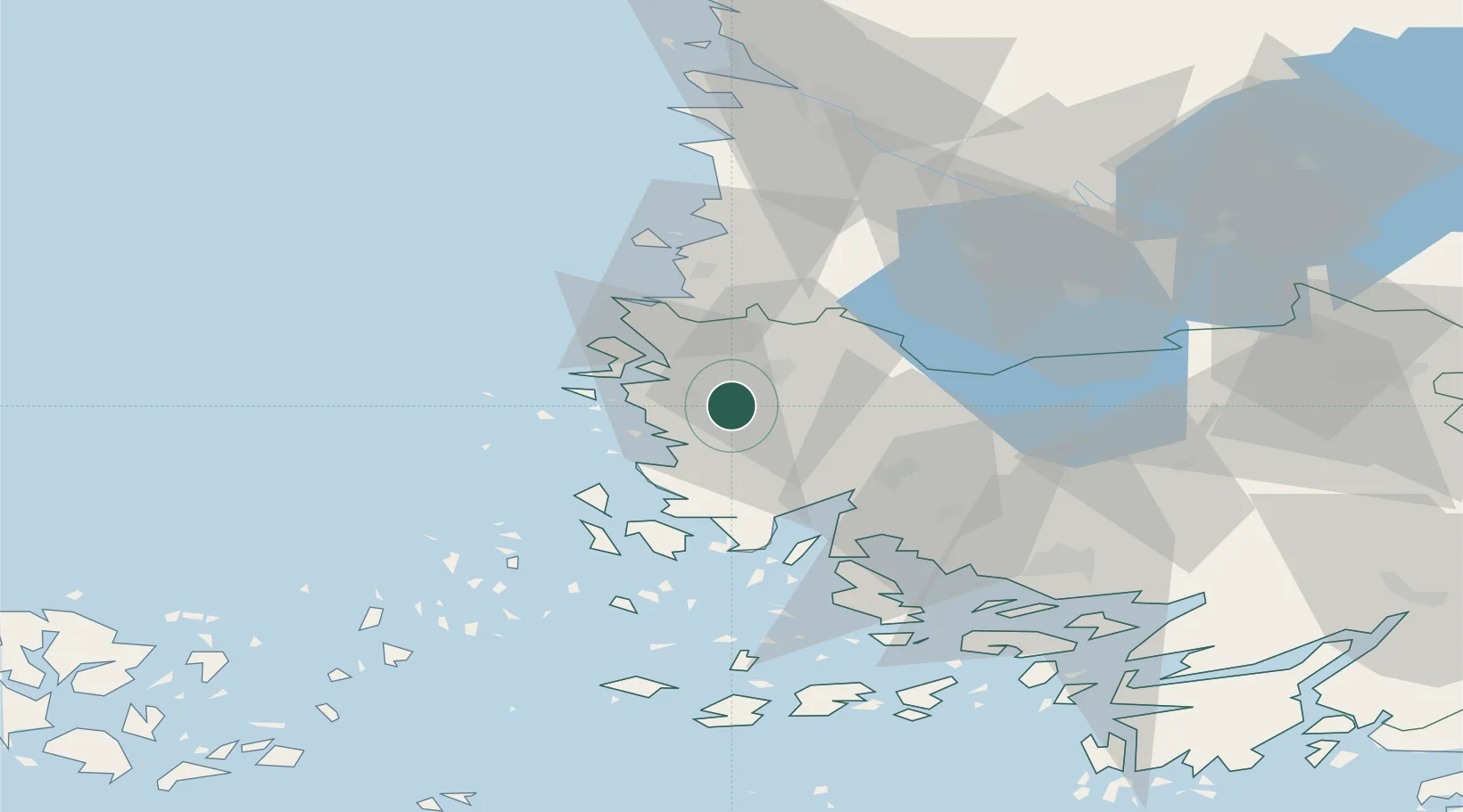
Populated place
Region
Southwest Finland
Time zone
Europe/Helsinki
Elevation
19 m
Location
Nearby Logistics Neighbours
Cities
- 1Nystad (Uusikaupunki)8 km
- 2Vinkkilä17 km
- 3Taivassalo (Tövsala)28 km
- 4Kaskinen (Kaskö)28 km
- 5Rouhu32 km
Ports
- 1Uusikaupunki9 km
- 2Rauma35 km
- 3Naantali46 km
- 4Turku55 km
- 5Pargas65 km
Airports
- 1Turku Airport51 km
- 2Pori Airport73 km
- 3Mariehamn Airport120 km
- 4Tampere-Pirkkala Airport128 km
- 5Kauhajoki Airfield188 km
Trade Zones
- 1Turku Free Zone54 km
- 2Freeport of Hanko132 km
- 3Paldiski Free Zone216 km
- 4Stockholm Free Zone252 km
- 5Muuga Free Zone255 km
DatabookThe Record of Consolidated Knowledge
Finland beyond logistics?