UN/LOCODE hub · Finland
FIUKI

Nystad (Uusikaupunki)

60.8000°, 21.4167°
1
Transport functions

Transport Functions

Port
Nystad (Uusikaupunki) is also a profiled seaport →
UN/LOCODE

Hub Profile

Region
19
GeoNames

Location

Location of FIUKI
Natural Earth 10m (public domain) · 19 · FIUKI · 60.80, 21.42GoogleOSMYandex

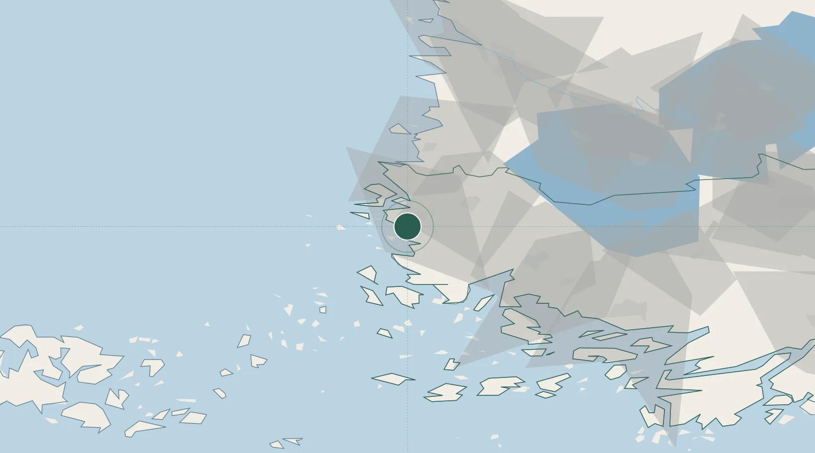
Nearby Logistics Neighbours

Cities
  1. 1Kalanti8 km
  2. 2Vinkkilä21 km
  3. 3Taivassalo (Tövsala)28 km
  4. 4Kaskinen (Kaskö)33 km
  5. 5Rouhu33 km
Nearest neighbours — logibook spatial index (haversine) over the source coordinates
Ports
  1. 1Rauma36 km
  2. 2Naantali49 km
  3. 3Turku59 km
  4. 4Pargas68 km
  5. 5Pori79 km
Nearest neighbours — logibook spatial index (haversine) over the source coordinates
Airports
  1. 1Turku Airport56 km
  2. 2Pori Airport76 km
  3. 3Mariehamn Airport112 km
  4. 4Tampere-Pirkkala Airport136 km
  5. 5Kauhajoki Airfield192 km
Nearest neighbours — logibook spatial index (haversine) over the source coordinates
Trade Zones
  1. 1Turku Free Zone59 km
  2. 2Freeport of Hanko135 km
  3. 3Paldiski Free Zone220 km
  4. 4Stockholm Free Zone244 km
  5. 5Muuga Free Zone260 km
Nearest neighbours — logibook spatial index (haversine) over the source coordinates
DatabookThe Record of Consolidated Knowledge
Finland beyond logistics?
Browse databook

All Sources

LocationsUN/LOCODE
UN/LOCODE — free
Portsthe NGA World Port Index
Public domain (US gov)
AirportsOurAirports
Public domain
Trade Zonesthe World Bank SEZ database
CC BY 4.0
Trade ZonesOpen Zone Map
CC BY
← Finland locations