UN/LOCODE hub · Finland
FIGUL

Gullö

59.9500°, 23.4167°
2
Transport functions

Transport Functions

Port
Road
UN/LOCODE

Hub Profile

Region
18
GeoNames

Location

Location of FIGUL
Natural Earth 10m (public domain) · 18 · FIGUL · 59.95, 23.42GoogleOSMYandex

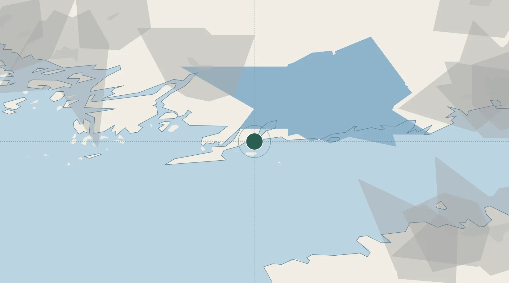
Nearby Logistics Neighbours

Cities
  1. 1Ekenäs (Tammisaari)2 km
  2. 2Skutviken3 km
  3. 3Lappohja (Lappvik)11 km
  4. 4Snappertuna14 km
  5. 5Koverhaara (Koverhar)15 km
Nearest neighbours — logibook spatial index (haversine) over the source coordinates
Ports
  1. 1Ekenas4 km
  2. 2Jussaro15 km
  3. 3Inkoo29 km
  4. 4Hanko30 km
  5. 5Porkkala56 km
Nearest neighbours — logibook spatial index (haversine) over the source coordinates
Airports
  1. 1Ämari Air Base89 km
  2. 2Turku Airport89 km
  3. 3Tallinn Linnahall Heliport94 km
  4. 4Helsinki Vantaa Airport95 km
  5. 5Lennart Meri Tallinn Airport99 km
Nearest neighbours — logibook spatial index (haversine) over the source coordinates
Trade Zones
  1. 1Freeport of Hanko33 km
  2. 2Paldiski Free Zone78 km
  3. 3Turku Free Zone86 km
  4. 4Muuga Free Zone115 km
  5. 5Port of Hamina-Kotka203 km
Nearest neighbours — logibook spatial index (haversine) over the source coordinates
DatabookThe Record of Consolidated Knowledge
Finland beyond logistics?
Browse databook

All Sources

LocationsUN/LOCODE
UN/LOCODE — free
Portsthe NGA World Port Index
Public domain (US gov)
AirportsOurAirports
Public domain
Trade Zonesthe World Bank SEZ database
CC BY 4.0
Trade ZonesOpen Zone Map
CC BY
← Finland locations