Transport Functions
Port
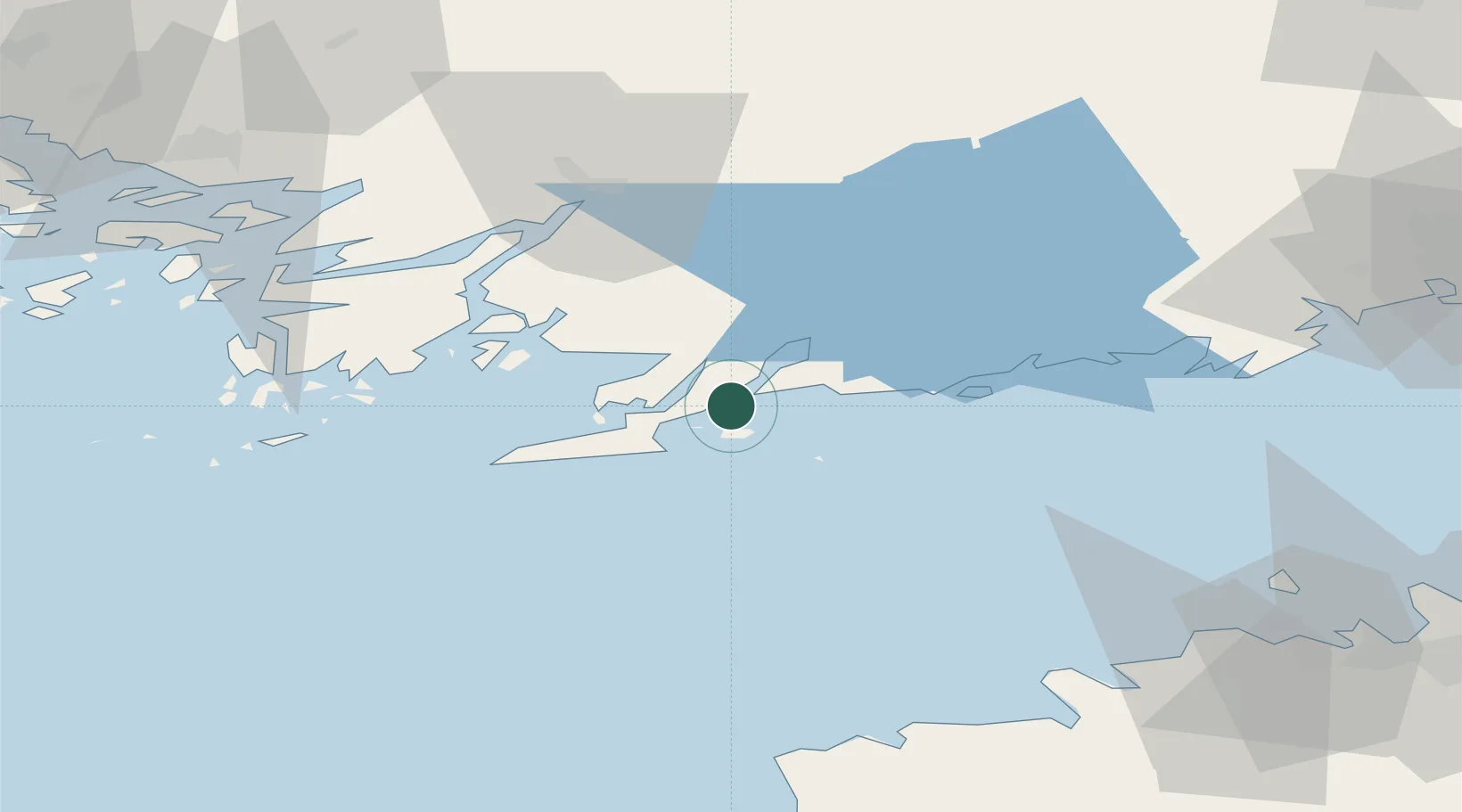
Location
Nearby Logistics Neighbours
Cities
- 1Gullö3 km
- 2Ekenäs (Tammisaari)5 km
- 3Lappohja (Lappvik)8 km
- 4Koverhaara (Koverhar)12 km
- 5Tenala16 km
Airports
- 1Ämari Air Base88 km
- 2Turku Airport89 km
- 3Tallinn Linnahall Heliport94 km
- 4Helsinki Vantaa Airport97 km
- 5Lennart Meri Tallinn Airport100 km
Trade Zones
- 1Freeport of Hanko30 km
- 2Paldiski Free Zone77 km
- 3Turku Free Zone86 km
- 4Muuga Free Zone116 km
- 5Port of Hamina-Kotka205 km
DatabookThe Record of Consolidated Knowledge
Finland beyond logistics?