Transport Functions
Multimodal
Hub Profile
Place type
Populated place
Region
South Savo
Population
2,256
Time zone
Europe/Helsinki
Elevation
124 m
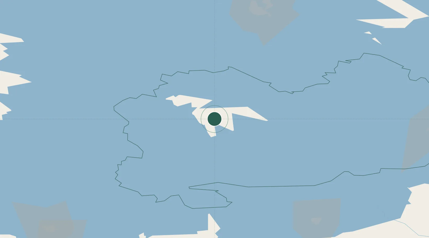
Location
Nearby Logistics Neighbours
Cities
- 1Naarajärvi31 km
- 2Mikkeli (Sankt Michel)37 km
- 3Otava42 km
- 4Hirvensalmi48 km
- 5Varkaus49 km
Ports
- 1Hamina161 km
- 2Vyborg166 km
- 3Gavan Vysotsk172 km
- 4Kotka173 km
- 5Loviisa182 km
Airports
- 1Mikkeli Airport37 km
- 2Varkaus Airport38 km
- 3Jyväskylä Airport90 km
- 4Savonlinna Airport91 km
- 5Kuopio Airport114 km
Trade Zones
- 1Free Zone of Lappeenranta118 km
- 2Port of Hamina-Kotka173 km
- 3St Petersburg Technology Innovative Special Economic Zone285 km
- 4Port of Sillamäe290 km
- 5Turku Free Zone320 km
DatabookThe Record of Consolidated Knowledge
Finland beyond logistics?