Transport Functions
Port
Rail
Road
Hub Profile
Place type
Populated place
Region
Central Finland
Population
899
Time zone
Europe/Helsinki
Elevation
96 m
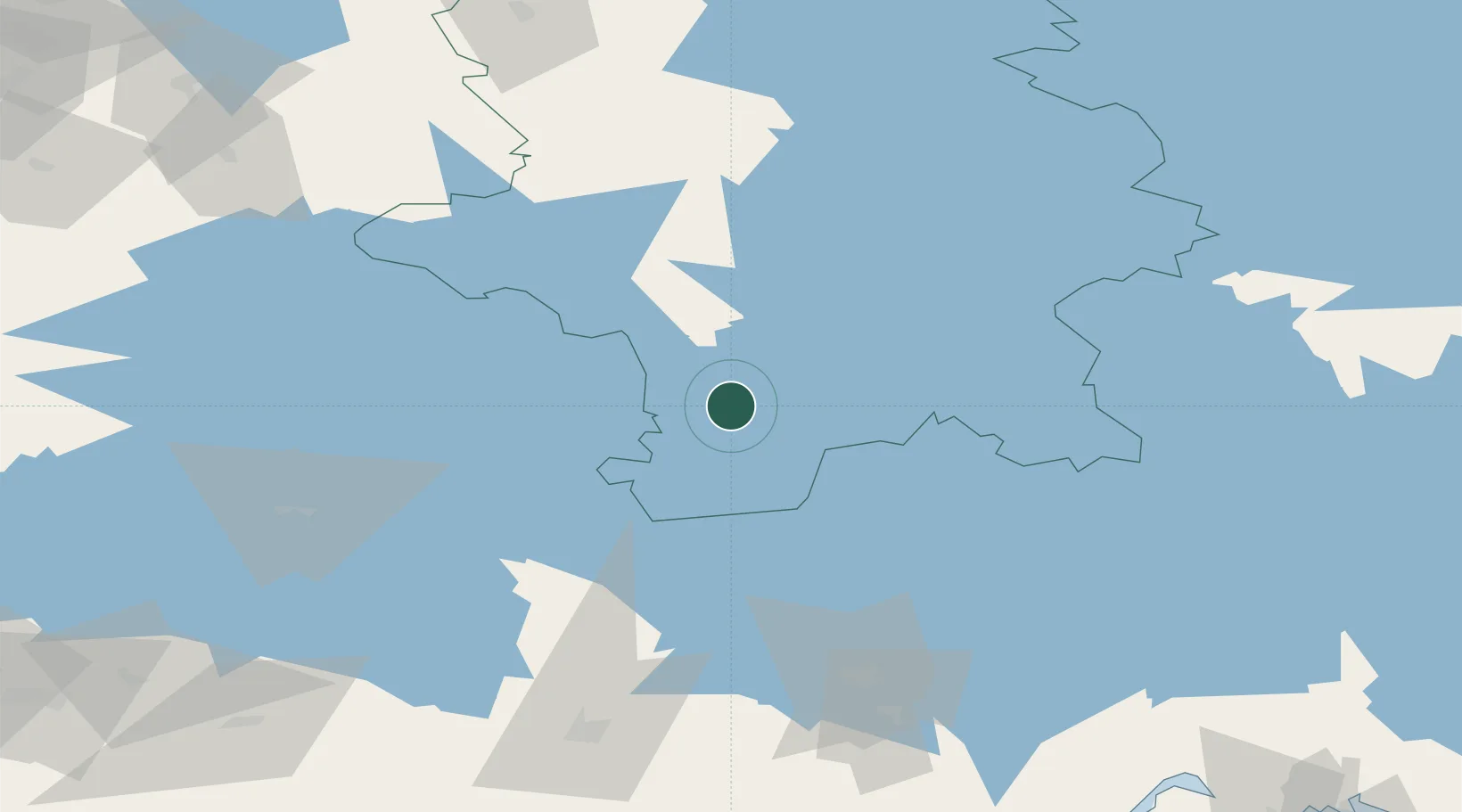
Location
Nearby Logistics Neighbours
Cities
- 1Längelmäki32 km
- 2Vilppula43 km
- 3Kintaus50 km
- 4Kolho51 km
- 5Jyväskylä55 km
Airports
- 1Halli Airport23 km
- 2Jyväskylä Airport69 km
- 3Tampere-Pirkkala Airport96 km
- 4Mikkeli Airport106 km
- 5Utti Air Base137 km
Trade Zones
- 1Port of Hamina-Kotka176 km
- 2Free Zone of Lappeenranta176 km
- 3Turku Free Zone222 km
- 4Freeport of Hanko255 km
- 5Muuga Free Zone281 km
DatabookThe Record of Consolidated Knowledge
Finland beyond logistics?