Transport Functions
Multimodal
Hub Profile
Place type
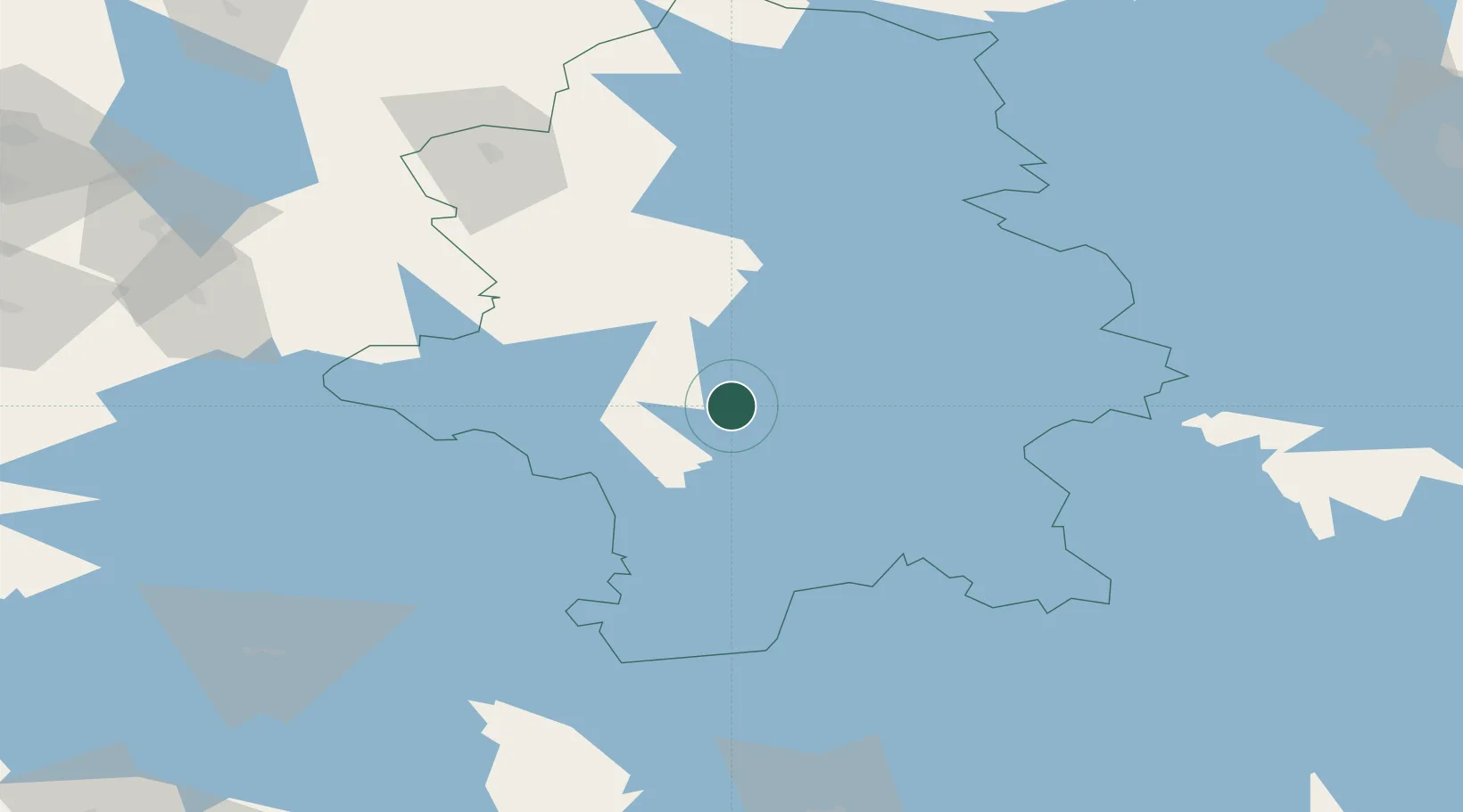
Populated place
Region
Central Finland
Time zone
Europe/Helsinki
Elevation
183 m
Location
Nearby Logistics Neighbours
Cities
- 1Palokka20 km
- 2Jyväskylä22 km
- 3Tikkakoski22 km
- 4Multia32 km
- 5Laukaa37 km
Ports
- 1Hellnas193 km
- 2Nykarleby198 km
- 3Kantlax200 km
- 4Pietarsaari207 km
- 5Loviisa208 km
Airports
- 1Jyväskylä Airport24 km
- 2Halli Airport53 km
- 3Mikkeli Airport118 km
- 4Tampere-Pirkkala Airport131 km
- 5Varkaus Airport133 km
Trade Zones
- 1Free Zone of Lappeenranta201 km
- 2Port of Hamina-Kotka218 km
- 3Turku Free Zone262 km
- 4Freeport of Hanko301 km
- 5Oulu Port Free Warehouse Area304 km
DatabookThe Record of Consolidated Knowledge
Finland beyond logistics?