Transport Functions
Port
Rail
Road
Airport
Hub Profile
Region
08
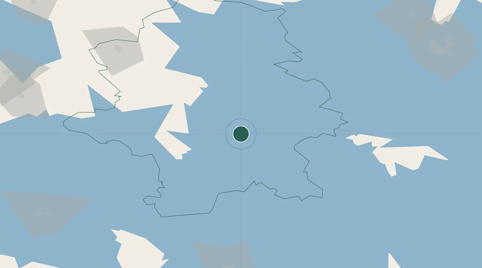
Location
Nearby Logistics Neighbours
Cities
- 1Palokka4 km
- 2Tikkakoski18 km
- 3Kintaus22 km
- 4Laukaa22 km
- 5Hankasalmi39 km
Airports
- 1Jyväskylä Airport17 km
- 2Halli Airport66 km
- 3Mikkeli Airport99 km
- 4Varkaus Airport111 km
- 5Kuopio Airport135 km
Trade Zones
- 1Free Zone of Lappeenranta184 km
- 2Port of Hamina-Kotka208 km
- 3Turku Free Zone275 km
- 4Oulu Port Free Warehouse Area306 km
- 5Freeport of Hanko310 km
DatabookThe Record of Consolidated Knowledge
Finland beyond logistics?