UN/LOCODE hub · Finland
FINDT

Nedervetil

63.7000°, 23.3333°
1
Transport functions

Transport Functions

Multimodal
UN/LOCODE

Hub Profile

Place type
Populated place
GeoNames
Region
Ostrobothnia
GeoNames
Time zone
Europe/Helsinki
GeoNames
Elevation
18 m
GeoNames

Location

Location of FINDT
Natural Earth 10m (public domain) · Ostrobothnia · FINDT · 63.70, 23.33GoogleOSMYandex

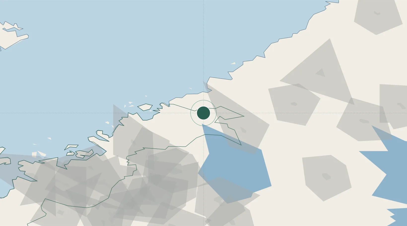
Nearby Logistics Neighbours

Cities
  1. 1Yxpila21 km
  2. 2Karleby (Kokkola)22 km
  3. 3Kållby (Kolppi)25 km
  4. 4Jakobstad (Pietarsaari)27 km
  5. 5Pännäinen29 km
Nearest neighbours — logibook spatial index (haversine) over the source coordinates
Ports
  1. 1Kokkola23 km
  2. 2Pietarsaari33 km
  3. 3Himanka37 km
  4. 4Nykarleby45 km
  5. 5Rahja60 km
Nearest neighbours — logibook spatial index (haversine) over the source coordinates
Airports
  1. 1Kokkola-Pietarsaari Airport10 km
  2. 2Kauhava Airfield65 km
  3. 3Ylivieska Airfield79 km
  4. 4Vaasa Airport107 km
  5. 5Seinäjoki Airport115 km
Nearest neighbours — logibook spatial index (haversine) over the source coordinates
Trade Zones
  1. 1Oulu Port Free Warehouse Area176 km
  2. 2Turku Free Zone367 km
  3. 3Free Zone of Lappeenranta385 km
  4. 4Port of Hamina-Kotka405 km
  5. 5Freeport of Hanko431 km
Nearest neighbours — logibook spatial index (haversine) over the source coordinates
DatabookThe Record of Consolidated Knowledge
Finland beyond logistics?
Browse databook

All Sources

LocationsUN/LOCODE
UN/LOCODE — free
Portsthe NGA World Port Index
Public domain (US gov)
AirportsOurAirports
Public domain
Trade Zonesthe World Bank SEZ database
CC BY 4.0
Trade ZonesOpen Zone Map
CC BY
← Finland locations