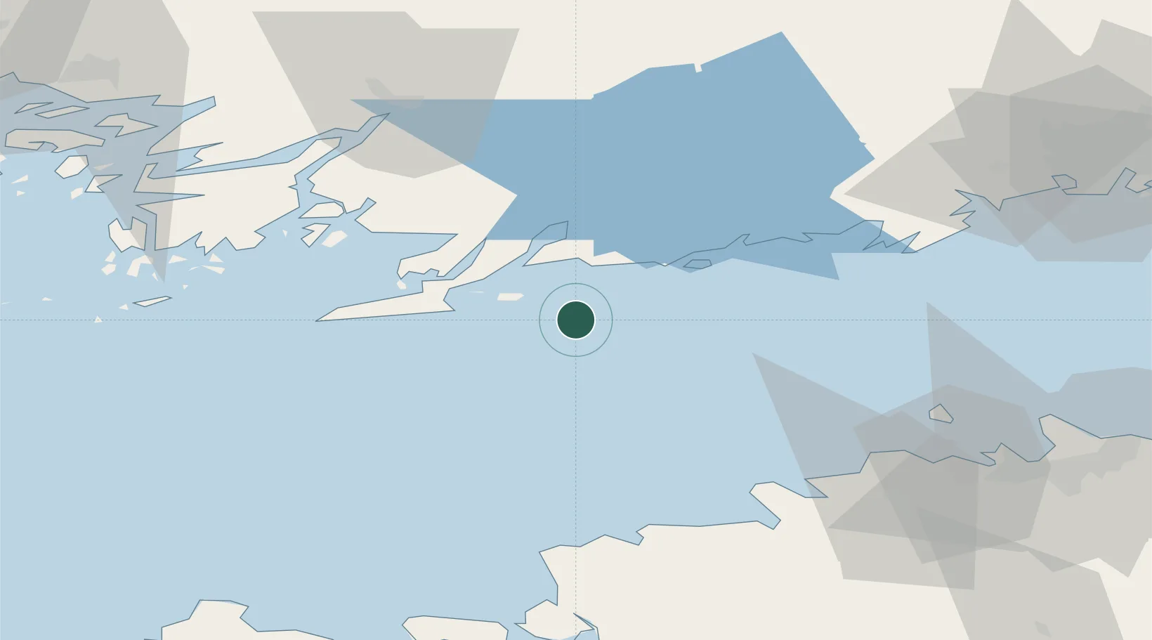
UN/LOCODE hub · Finland
FIJUS

Jussaro

59.8167°, 23.5667°
1
Transport functions

Transport Functions

Port
Jussaro is also a profiled seaport →
UN/LOCODE

Location

Location of FIJUS
Natural Earth 10m (public domain) · Uusimaa · FIJUS · 59.82, 23.57GoogleOSMYandex

Nearby Logistics Neighbours

Cities
  1. 1Skutviken17 km
  2. 2Gullö17 km
  3. 3Ekenäs (Tammisaari)18 km
  4. 4Lappohja (Lappvik)20 km
  5. 5Koverhaara (Koverhar)20 km
Nearest neighbours — logibook spatial index (haversine) over the source coordinates
Ports
  1. 1Ekenas20 km
  2. 2Inkoo30 km
  3. 3Hanko35 km
  4. 4Porkkala54 km
  5. 5Osmussaar59 km
Nearest neighbours — logibook spatial index (haversine) over the source coordinates
Airports
  1. 1Ämari Air Base72 km
  2. 2Tallinn Linnahall Heliport78 km
  3. 3Lennart Meri Tallinn Airport84 km
  4. 4Helsinki Vantaa Airport96 km
  5. 5Kärdla Airport101 km
Nearest neighbours — logibook spatial index (haversine) over the source coordinates
Trade Zones
  1. 1Freeport of Hanko38 km
  2. 2Paldiski Free Zone61 km
  3. 3Muuga Free Zone100 km
  4. 4Turku Free Zone102 km
  5. 5Port of Hamina-Kotka200 km
Nearest neighbours — logibook spatial index (haversine) over the source coordinates
DatabookThe Record of Consolidated Knowledge
Finland beyond logistics?
Browse databook

All Sources

LocationsUN/LOCODE
UN/LOCODE — free
Portsthe NGA World Port Index
Public domain (US gov)
AirportsOurAirports
Public domain
Trade Zonesthe World Bank SEZ database
CC BY 4.0
Trade ZonesOpen Zone Map
CC BY
← Finland locations