UN/LOCODE hub · Spain
ESZNB

Vera

37.2500°, -1.8667°
13,985
Population
1
Transport functions

Transport Functions

Multimodal
UN/LOCODE

Hub Profile

Place type
District seat
GeoNames
Region
Andalusia
GeoNames
Population
13,985
GeoNames
Time zone
Europe/Madrid
GeoNames
Elevation
75 m
GeoNames

Location

Location of ESZNB
Natural Earth 10m (public domain) · Andalusia · ESZNB · 37.25, -1.87GoogleOSMYandex

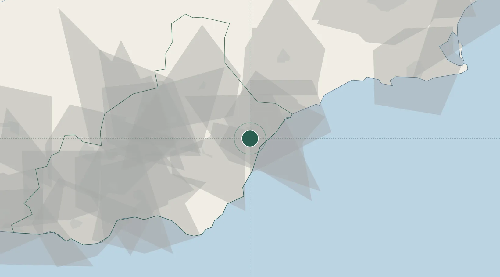
Nearby Logistics Neighbours

Cities
  1. 1Antas5 km
  2. 2Mojácar11 km
  3. 3Huercal Overa17 km
  4. 4Lubrin18 km
  5. 5Pulpi20 km
Nearest neighbours — logibook spatial index (haversine) over the source coordinates
Ports
  1. 1Puerto De Garrucha9 km
  2. 2Puerto De Carboneras28 km
  3. 3Aguilas31 km
  4. 4Almeria71 km
  5. 5Cartagena86 km
Nearest neighbours — logibook spatial index (haversine) over the source coordinates
Airports
  1. 1Almería Airport64 km
  2. 2Region of Murcia International Airport90 km
  3. 3Alcantarilla Air Base96 km
  4. 4San Javier Airport110 km
  5. 5Armilla Air Base157 km
Nearest neighbours — logibook spatial index (haversine) over the source coordinates
Trade Zones
  1. 1Depósito Franco de Alicante171 km
  2. 2Depósito Franco de Málaga237 km
  3. 3Melilla Autonomous Community238 km
  4. 4Nador WestMed Free Zone252 km
  5. 5Berkane Agro-Pole259 km
Nearest neighbours — logibook spatial index (haversine) over the source coordinates
DatabookThe Record of Consolidated Knowledge
Spain beyond logistics?
Browse databook

All Sources

LocationsUN/LOCODE
UN/LOCODE — free
LocationsGeoNames
CC BY 4.0
Portsthe NGA World Port Index
Public domain (US gov)
AirportsOurAirports
Public domain
Trade Zonesthe World Bank SEZ database
CC BY 4.0
Trade ZonesOpen Zone Map
CC BY
← Spain locations