UN/LOCODE hub · Spain
ESZFS

Huercal Overa

37.3833°, -1.9500°
17,645
Population
1
Transport functions

Transport Functions

Multimodal
UN/LOCODE

Hub Profile

Place type
District seat
GeoNames
Region
Andalusia
GeoNames
Population
17,645
GeoNames
Time zone
Europe/Madrid
GeoNames
Elevation
285 m
GeoNames

Location

Location of ESZFS
Natural Earth 10m (public domain) · Andalusia · ESZFS · 37.38, -1.95GoogleOSMYandex

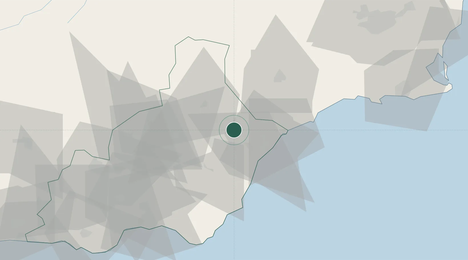
Nearby Logistics Neighbours

Cities
  1. 1Albox16 km
  2. 2Vera17 km
  3. 3Antas17 km
  4. 4Almendricos17 km
  5. 5Pulpi18 km
Nearest neighbours — logibook spatial index (haversine) over the source coordinates
Ports
  1. 1Puerto De Garrucha25 km
  2. 2Aguilas34 km
  3. 3Puerto De Carboneras43 km
  4. 4Almeria76 km
  5. 5Cartagena88 km
Nearest neighbours — logibook spatial index (haversine) over the source coordinates
Airports
  1. 1Almería Airport71 km
  2. 2Region of Murcia International Airport86 km
  3. 3Alcantarilla Air Base89 km
  4. 4San Javier Airport109 km
  5. 5Armilla Air Base152 km
Nearest neighbours — logibook spatial index (haversine) over the source coordinates
Trade Zones
  1. 1Depósito Franco de Alicante166 km
  2. 2Depósito Franco de Málaga231 km
  3. 3Melilla Autonomous Community249 km
  4. 4Nador WestMed Free Zone262 km
  5. 5Depósito Franco de Valencia270 km
Nearest neighbours — logibook spatial index (haversine) over the source coordinates
DatabookThe Record of Consolidated Knowledge
Spain beyond logistics?
Browse databook

All Sources

LocationsUN/LOCODE
UN/LOCODE — free
LocationsGeoNames
CC BY 4.0
Portsthe NGA World Port Index
Public domain (US gov)
AirportsOurAirports
Public domain
Trade Zonesthe World Bank SEZ database
CC BY 4.0
Trade ZonesOpen Zone Map
CC BY
← Spain locations