UN/LOCODE hub · Spain
ESMOJ

Mojácar

37.1500°, -1.8500°
5,154
Population
2
Transport functions

Transport Functions

Port
Road
UN/LOCODE

Hub Profile

Place type
District seat
GeoNames
Region
Andalusia
GeoNames
Population
5,154
GeoNames
Time zone
Europe/Madrid
GeoNames
Elevation
162 m
GeoNames

Location

Location of ESMOJ
Natural Earth 10m (public domain) · Andalusia · ESMOJ · 37.15, -1.85GoogleOSMYandex

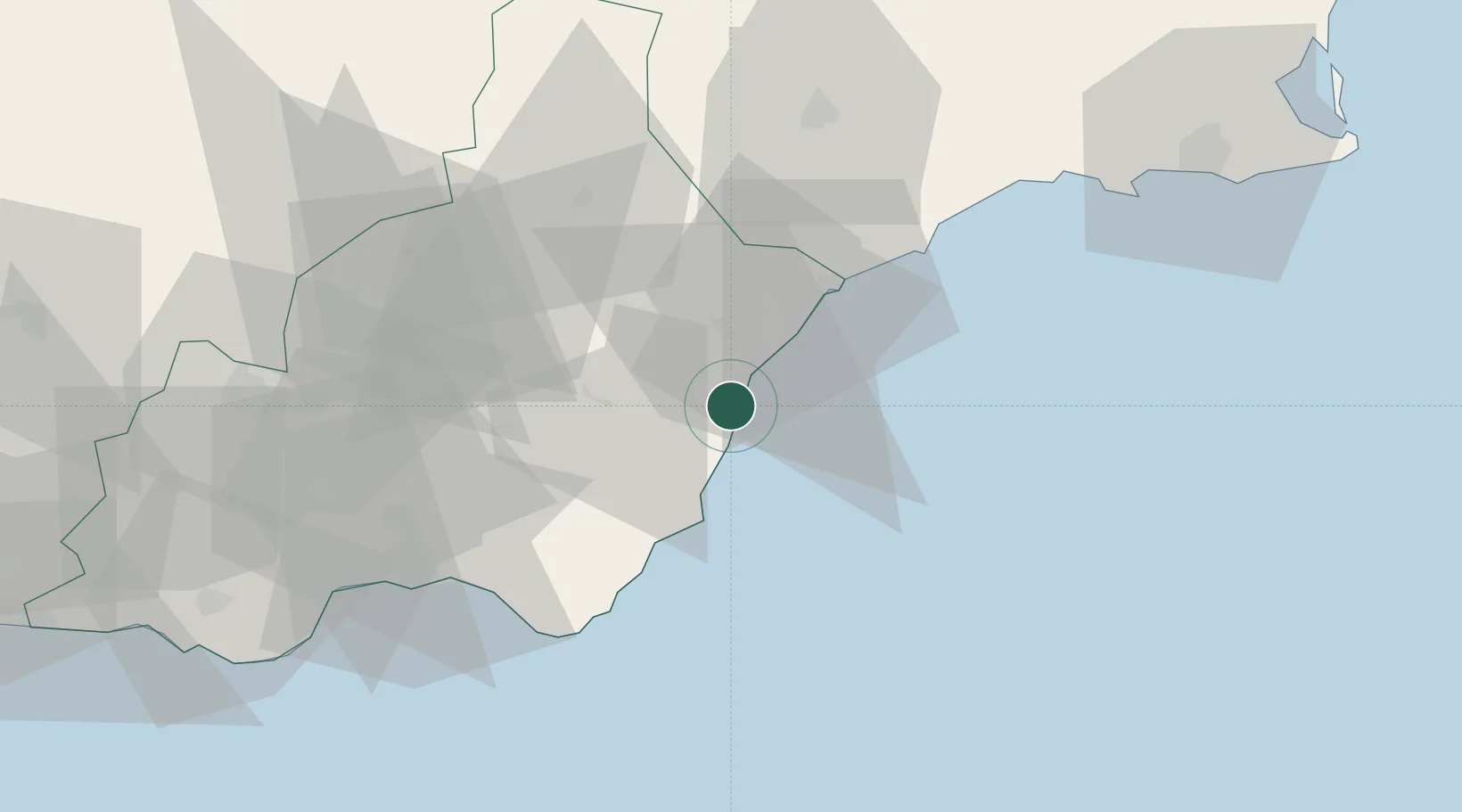
Nearby Logistics Neighbours

Cities
  1. 1Antas11 km
  2. 2Vera11 km
  3. 3Carboneras19 km
  4. 4Lubrin21 km
  5. 5Huercal Overa27 km
Nearest neighbours — logibook spatial index (haversine) over the source coordinates
Ports
  1. 1Puerto De Garrucha5 km
  2. 2Puerto De Carboneras17 km
  3. 3Aguilas37 km
  4. 4Almeria65 km
  5. 5Cartagena91 km
Nearest neighbours — logibook spatial index (haversine) over the source coordinates
Airports
  1. 1Almería Airport57 km
  2. 2Region of Murcia International Airport97 km
  3. 3Alcantarilla Air Base105 km
  4. 4San Javier Airport115 km
  5. 5Armilla Air Base158 km
Nearest neighbours — logibook spatial index (haversine) over the source coordinates
Trade Zones
  1. 1Depósito Franco de Alicante178 km
  2. 2Melilla Autonomous Community229 km
  3. 3Depósito Franco de Málaga238 km
  4. 4Nador WestMed Free Zone243 km
  5. 5Berkane Agro-Pole248 km
Nearest neighbours — logibook spatial index (haversine) over the source coordinates
DatabookThe Record of Consolidated Knowledge
Spain beyond logistics?
Browse databook

All Sources

LocationsUN/LOCODE
UN/LOCODE — free
LocationsGeoNames
CC BY 4.0
Portsthe NGA World Port Index
Public domain (US gov)
AirportsOurAirports
Public domain
Trade Zonesthe World Bank SEZ database
CC BY 4.0
Trade ZonesOpen Zone Map
CC BY
← Spain locations