UN/LOCODE hub · Spain
ESLBR

Lubrin

37.2167°, -2.0667°
1,687
Population
1
Transport functions

Transport Functions

Multimodal
UN/LOCODE

Hub Profile

Place type
District seat
GeoNames
Region
Andalusia
GeoNames
Population
1,687
GeoNames
Time zone
Europe/Madrid
GeoNames
Elevation
519 m
GeoNames

Location

Location of ESLBR
Natural Earth 10m (public domain) · Andalusia · ESLBR · 37.22, -2.07GoogleOSMYandex

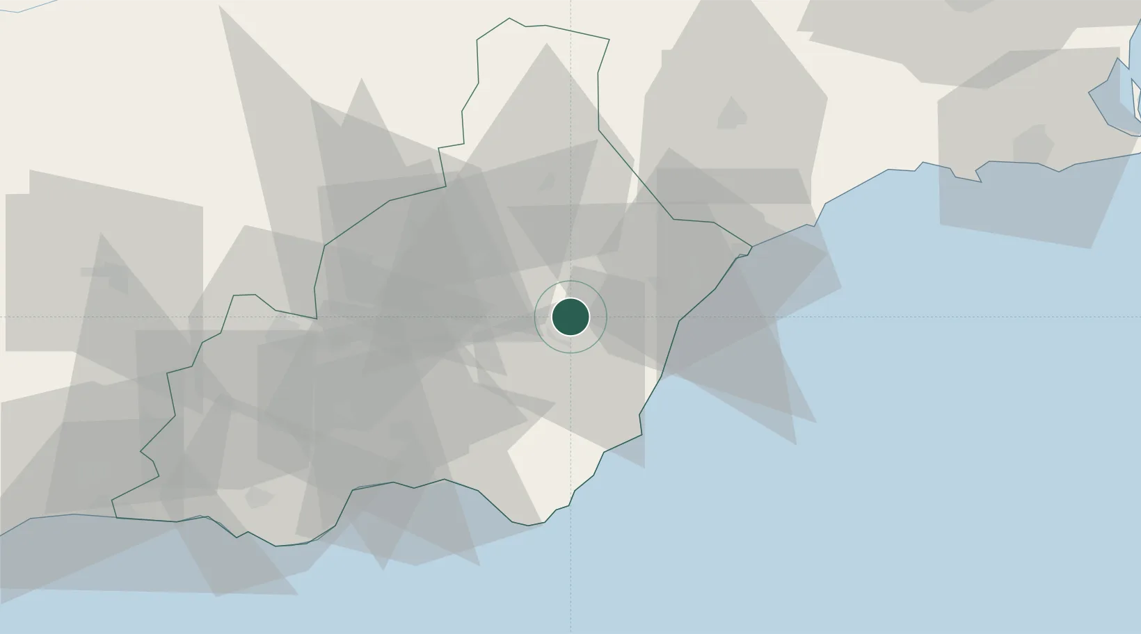
Nearby Logistics Neighbours

Cities
  1. 1Antas13 km
  2. 2Vera18 km
  3. 3Albox19 km
  4. 4Mojácar21 km
  5. 5Huercal Overa21 km
Nearest neighbours — logibook spatial index (haversine) over the source coordinates
Ports
  1. 1Puerto De Garrucha23 km
  2. 2Puerto De Carboneras29 km
  3. 3Aguilas49 km
  4. 4Almeria56 km
  5. 5Adra101 km
Nearest neighbours — logibook spatial index (haversine) over the source coordinates
Airports
  1. 1Almería Airport49 km
  2. 2Region of Murcia International Airport106 km
  3. 3Alcantarilla Air Base110 km
  4. 4San Javier Airport127 km
  5. 5Armilla Air Base139 km
Nearest neighbours — logibook spatial index (haversine) over the source coordinates
Trade Zones
  1. 1Depósito Franco de Alicante186 km
  2. 2Depósito Franco de Málaga219 km
  3. 3Melilla Autonomous Community228 km
  4. 4Nador WestMed Free Zone241 km
  5. 5Berkane Agro-Pole253 km
Nearest neighbours — logibook spatial index (haversine) over the source coordinates
DatabookThe Record of Consolidated Knowledge
Spain beyond logistics?
Browse databook

All Sources

LocationsUN/LOCODE
UN/LOCODE — free
LocationsGeoNames
CC BY 4.0
Portsthe NGA World Port Index
Public domain (US gov)
AirportsOurAirports
Public domain
Trade Zonesthe World Bank SEZ database
CC BY 4.0
Trade ZonesOpen Zone Map
CC BY
← Spain locations