UN/LOCODE hub · Spain
ESZKS

Antas

37.2333°, -1.9167°
3,166
Population
1
Transport functions

Transport Functions

Multimodal
UN/LOCODE

Hub Profile

Place type
Populated place
GeoNames
Region
Andalusia
GeoNames
Population
3,166
GeoNames
Time zone
Europe/Madrid
GeoNames
Elevation
108 m
GeoNames

Location

Location of ESZKS
Natural Earth 10m (public domain) · Andalusia · ESZKS · 37.23, -1.92GoogleOSMYandex

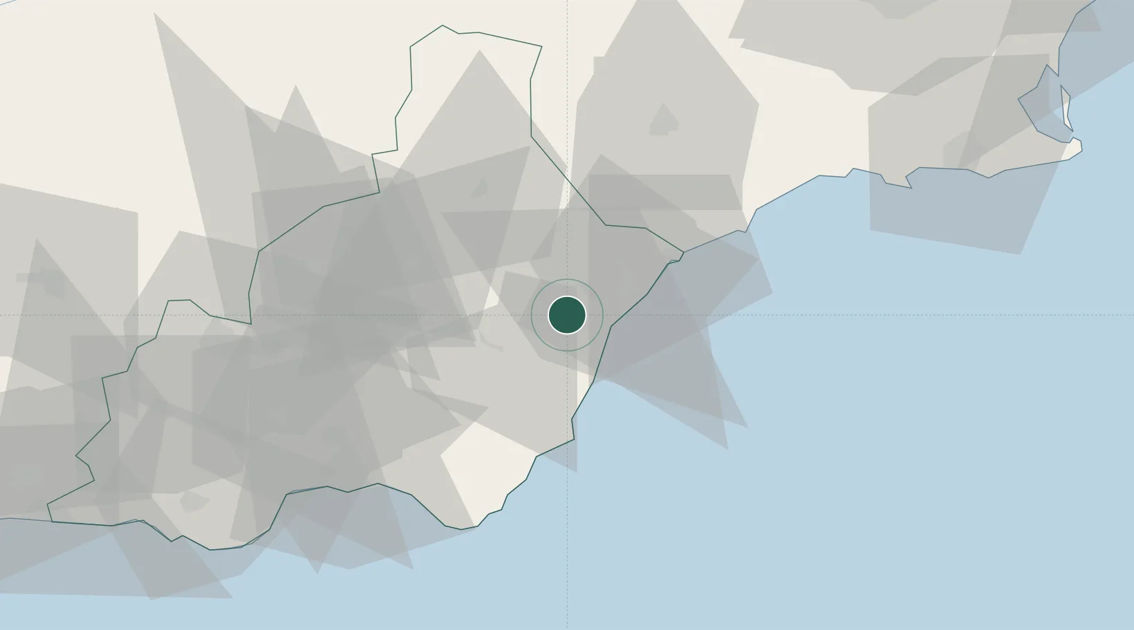
Nearby Logistics Neighbours

Cities
  1. 1Vera5 km
  2. 2Mojácar11 km
  3. 3Lubrin13 km
  4. 4Huercal Overa17 km
  5. 5Pulpi24 km
Nearest neighbours — logibook spatial index (haversine) over the source coordinates
Ports
  1. 1Puerto De Garrucha11 km
  2. 2Puerto De Carboneras26 km
  3. 3Aguilas36 km
  4. 4Almeria66 km
  5. 5Cartagena91 km
Nearest neighbours — logibook spatial index (haversine) over the source coordinates
Airports
  1. 1Almería Airport59 km
  2. 2Region of Murcia International Airport94 km
  3. 3Alcantarilla Air Base100 km
  4. 4San Javier Airport115 km
  5. 5Armilla Air Base153 km
Nearest neighbours — logibook spatial index (haversine) over the source coordinates
Trade Zones
  1. 1Depósito Franco de Alicante175 km
  2. 2Depósito Franco de Málaga232 km
  3. 3Melilla Autonomous Community235 km
  4. 4Nador WestMed Free Zone249 km
  5. 5Berkane Agro-Pole256 km
Nearest neighbours — logibook spatial index (haversine) over the source coordinates
DatabookThe Record of Consolidated Knowledge
Spain beyond logistics?
Browse databook

All Sources

LocationsUN/LOCODE
UN/LOCODE — free
LocationsGeoNames
CC BY 4.0
Portsthe NGA World Port Index
Public domain (US gov)
AirportsOurAirports
Public domain
Trade Zonesthe World Bank SEZ database
CC BY 4.0
Trade ZonesOpen Zone Map
CC BY
← Spain locations