Medium airport · Spain
San Javier AirportLELC
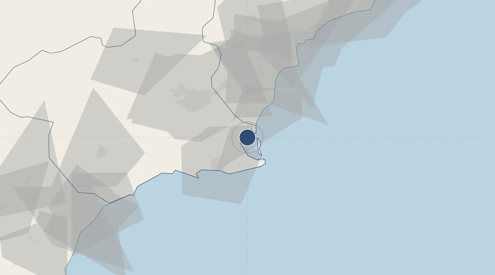
37.7750°, -0.8124°
7,612 ft
Longest runway
2
Runways
11 ft
Elevation
Runway & Layout

Radio Frequencies
TWR
130.3 MHz
SAN JAVIER TWR
GND
121.6 MHz
SAN JAVIER GND
APP
130.3 MHz
SAN JAVIER APP
Navaids
LCZ NDB Murcia/San Javier 381 kHz
O NDB Murcia/San Javier 370 kHz
VSJ TACAN Murcia/San Javier 113.00 MHz
VSJ VOR-DME Murcia/San Javier 113.00 MHz
Runways · 2
| Runway | Dimensions | Surface | True heading | Lit |
|---|---|---|---|---|
| 05R/23L | 7,612 × 148ft | ASPH | 046° | ✓ |
| 05L/23R | 5,174 × 148ft | ASPH | 046° | — |
Airport Specifications
ICAO code
LELC
Airport class
Medium airport
Scheduled service
No
Runway surface
ASPH
Served city
San Javier
Location
Nearby Logistics Neighbours
Airports
Cities
- 1El Mirador7 km
- 2San Cayetano9 km
- 3Torre Horadada12 km
- 4Balsicas13 km
- 5Campoamor15 km
Ports
- 1Torrevieja24 km
- 2Cartagena26 km
- 3Alicante68 km
- 4Aguilas79 km
- 5Puerto De Garrucha110 km
Trade Zones
- 1Depósito Franco de Alicante68 km
- 2Depósito Franco de Valencia191 km
- 3Melilla Autonomous Community335 km
- 4Depósito Franco de Málaga338 km
- 5Berkane Agro-Pole342 km
DatabookThe Record of Consolidated Knowledge
Spain beyond logistics?