Transport Functions
Multimodal
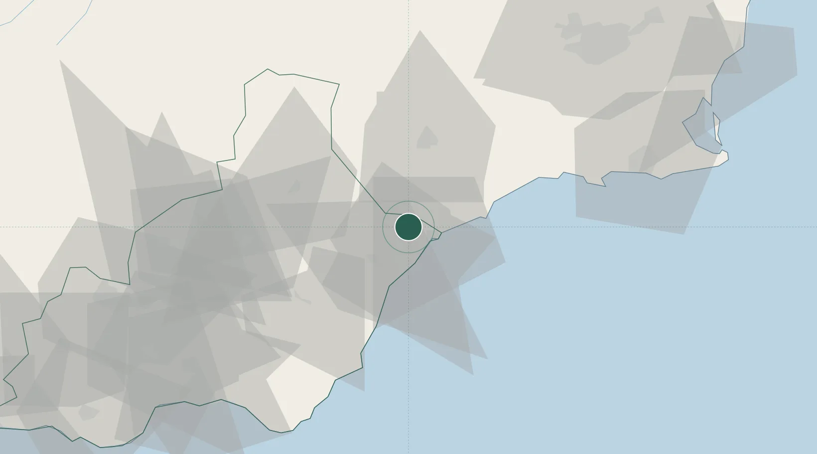
Hub Profile
Place type
Populated place
Region
Andalusia
Population
9,502
Time zone
Europe/Madrid
Elevation
196 m
Location
Nearby Logistics Neighbours
Cities
- 1Almendricos8 km
- 2Aguilas15 km
- 3Huercal Overa18 km
- 4Vera20 km
- 5Antas24 km
Ports
- 1Aguilas16 km
- 2Puerto De Garrucha25 km
- 3Puerto De Carboneras46 km
- 4Cartagena71 km
- 5Almeria90 km
Airports
Trade Zones
- 1Depósito Franco de Alicante152 km
- 2Depósito Franco de Málaga249 km
- 3Melilla Autonomous Community257 km
- 4Depósito Franco de Valencia260 km
- 5Nador WestMed Free Zone272 km
DatabookThe Record of Consolidated Knowledge
Spain beyond logistics?