Transport Functions
Multimodal
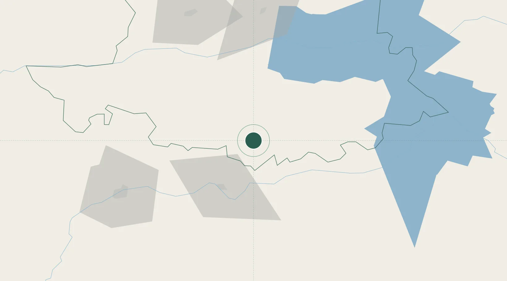
Hub Profile
Place type
District seat
Region
Extremadura
Population
2,017
Time zone
Europe/Madrid
Elevation
709 m
Location
Nearby Logistics Neighbours
Cities
- 1Valdefuentes6 km
- 2Alcuescar8 km
- 3Almoharin11 km
- 4Santa Amalia25 km
- 5Hernan Cortes27 km
Ports
- 1Sevilla206 km
- 2Huelva230 km
- 3Setubal251 km
- 4Vila Real De S Antonio251 km
- 5Figueira Da Foz253 km
Airports
- 1Badajoz Airport68 km
- 2Aerodromo de Castelo Branco131 km
- 3Estremoz Municipal Heliport134 km
- 4Aeródromo Municipal de Ponte de Sor164 km
- 5Évora Airfield169 km
Trade Zones
- 1Zona Franca de Sevilla210 km
- 2Puerto de Huelva229 km
- 3Depósito Franco de Madrid-Aeropuerto259 km
- 4VGP Park Santa Maria da Feira280 km
- 5Depósito Franco de Málaga280 km
DatabookThe Record of Consolidated Knowledge
Spain beyond logistics?