UN/LOCODE hub · Spain
ESAMA

Santa Amalia

39.0167°, -6.0167°
4,361
Population
2
Transport functions

Transport Functions

Road
Multimodal
UN/LOCODE

Hub Profile

Place type
District seat
GeoNames
Region
Extremadura
GeoNames
Population
4,361
GeoNames
Time zone
Europe/Madrid
GeoNames
Elevation
252 m
GeoNames

Location

Location of ESAMA
Natural Earth 10m (public domain) · Extremadura · ESAMA · 39.02, -6.02GoogleOSMYandex

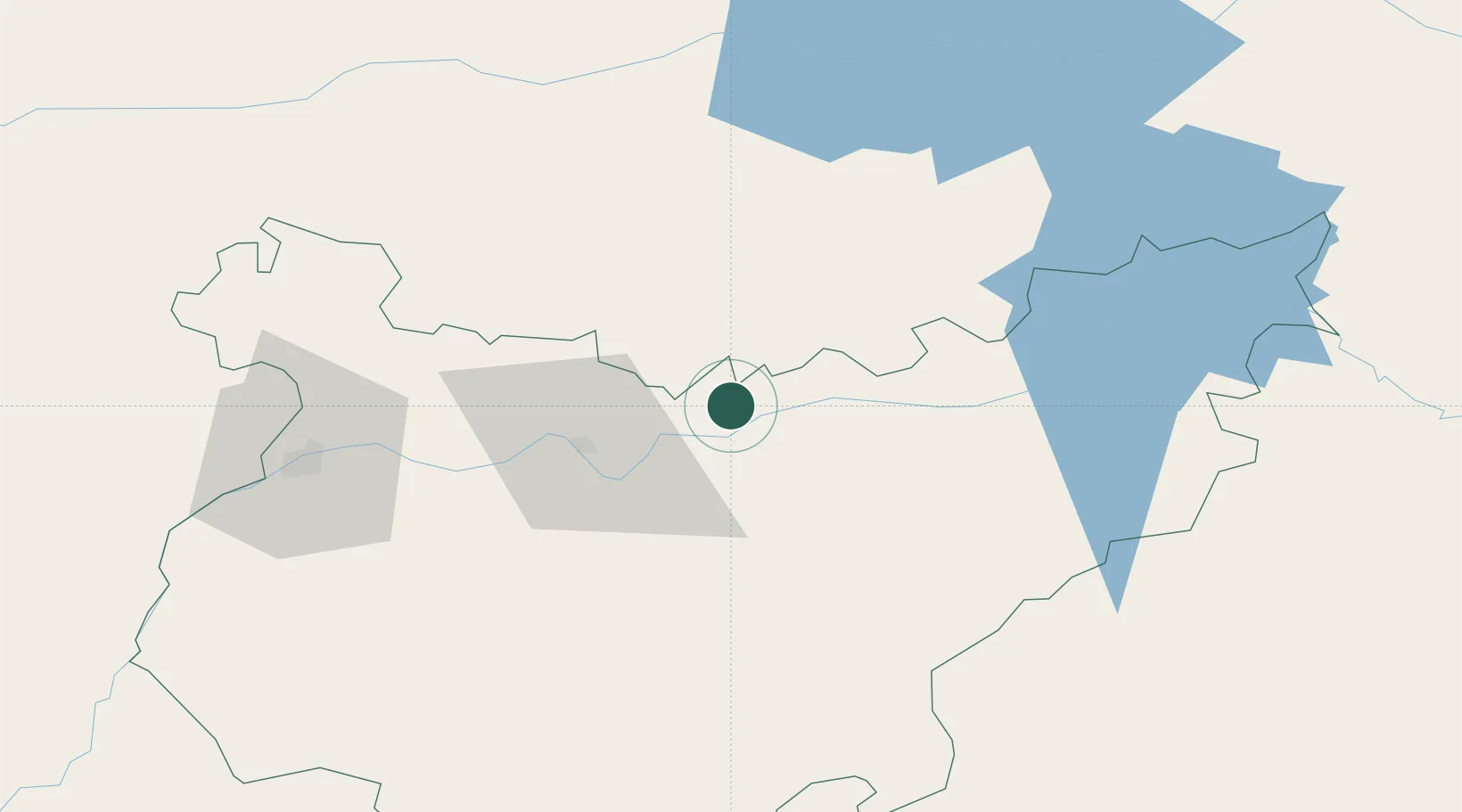
Nearby Logistics Neighbours

Cities
  1. 1Hernan Cortes6 km
  2. 2Medellin9 km
  3. 3Valdetorres12 km
  4. 4Almoharin19 km
  5. 5La Haba22 km
Nearest neighbours — logibook spatial index (haversine) over the source coordinates
Ports
  1. 1Sevilla184 km
  2. 2Huelva213 km
  3. 3Vila Real De S Antonio237 km
  4. 4Setubal256 km
  5. 5Rota268 km
Nearest neighbours — logibook spatial index (haversine) over the source coordinates
Airports
  1. 1Badajoz Airport71 km
  2. 2Estremoz Municipal Heliport140 km
  3. 3Aerodromo de Castelo Branco153 km
  4. 4Córdoba Airport166 km
  5. 5Madroñalejos Forest Fire fighting Heliport166 km
Nearest neighbours — logibook spatial index (haversine) over the source coordinates
Trade Zones
  1. 1Zona Franca de Sevilla187 km
  2. 2Puerto de Huelva212 km
  3. 3Depósito Franco de Málaga255 km
  4. 4Depósito Franco de Madrid-Aeropuerto263 km
  5. 5Zona Franca de Cádiz281 km
Nearest neighbours — logibook spatial index (haversine) over the source coordinates
DatabookThe Record of Consolidated Knowledge
Spain beyond logistics?
Browse databook

All Sources

LocationsUN/LOCODE
UN/LOCODE — free
LocationsGeoNames
CC BY 4.0
Portsthe NGA World Port Index
Public domain (US gov)
AirportsOurAirports
Public domain
Trade Zonesthe World Bank SEZ database
CC BY 4.0
Trade ZonesOpen Zone Map
CC BY
← Spain locations