UN/LOCODE hub · Spain
ESZCH

Alcuescar

39.1833°, -6.2333°
3,057
Population
1
Transport functions

Transport Functions

Multimodal
UN/LOCODE

Hub Profile

Place type
District seat
GeoNames
Region
Extremadura
GeoNames
Population
3,057
GeoNames
Time zone
Europe/Madrid
GeoNames
Elevation
487 m
GeoNames

Location

Location of ESZCH
Natural Earth 10m (public domain) · Extremadura · ESZCH · 39.18, -6.23GoogleOSMYandex

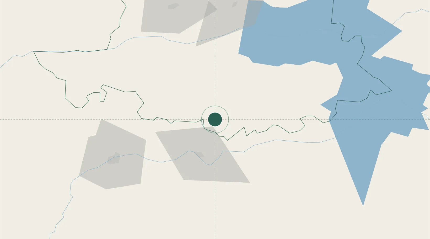
Nearby Logistics Neighbours

Cities
  1. 1Montanchez8 km
  2. 2Valdefuentes14 km
  3. 3Almoharin17 km
  4. 4Santa Amalia26 km
  5. 5Hernan Cortes30 km
Nearest neighbours — logibook spatial index (haversine) over the source coordinates
Ports
  1. 1Sevilla203 km
  2. 2Huelva224 km
  3. 3Setubal243 km
  4. 4Vila Real De S Antonio245 km
  5. 5Figueira Da Foz248 km
Nearest neighbours — logibook spatial index (haversine) over the source coordinates
Airports
  1. 1Badajoz Airport60 km
  2. 2Estremoz Municipal Heliport126 km
  3. 3Aerodromo de Castelo Branco127 km
  4. 4Aeródromo Municipal de Ponte de Sor157 km
  5. 5Évora Airfield161 km
Nearest neighbours — logibook spatial index (haversine) over the source coordinates
Trade Zones
  1. 1Zona Franca de Sevilla207 km
  2. 2Puerto de Huelva223 km
  3. 3Depósito Franco de Madrid-Aeropuerto267 km
  4. 4VGP Park Santa Maria da Feira278 km
  5. 5Depósito Franco de Málaga281 km
Nearest neighbours — logibook spatial index (haversine) over the source coordinates
DatabookThe Record of Consolidated Knowledge
Spain beyond logistics?
Browse databook

All Sources

LocationsUN/LOCODE
UN/LOCODE — free
LocationsGeoNames
CC BY 4.0
Portsthe NGA World Port Index
Public domain (US gov)
AirportsOurAirports
Public domain
Trade Zonesthe World Bank SEZ database
CC BY 4.0
Trade ZonesOpen Zone Map
CC BY
← Spain locations