Transport Functions
Multimodal
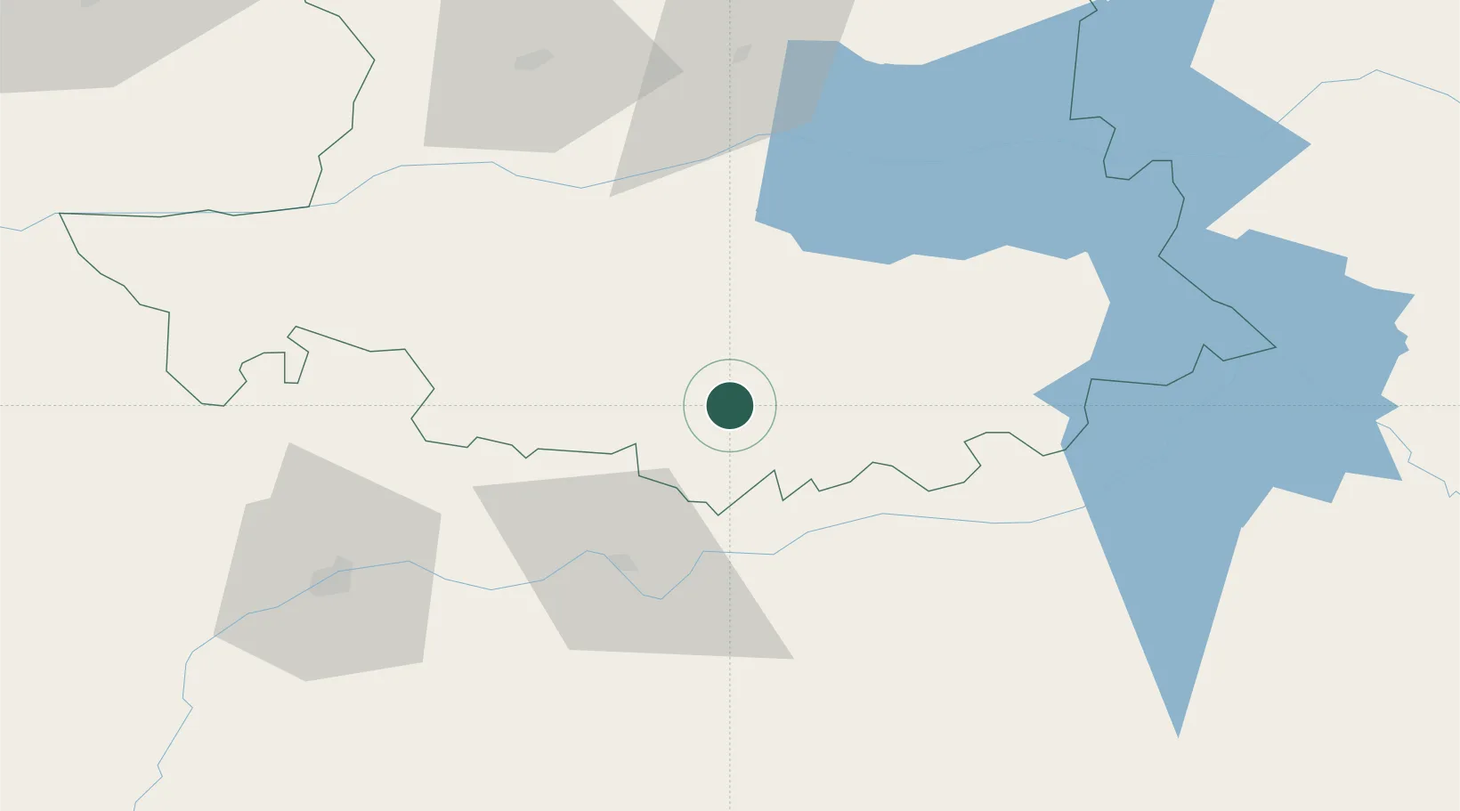
Hub Profile
Place type
District seat
Region
Extremadura
Population
1,572
Time zone
Europe/Madrid
Elevation
485 m
Location
Nearby Logistics Neighbours
Cities
- 1Montanchez6 km
- 2Almoharin12 km
- 3Alcuescar14 km
- 4Santa Amalia29 km
- 5Hernan Cortes30 km
Ports
- 1Sevilla212 km
- 2Huelva236 km
- 3Figueira Da Foz254 km
- 4Setubal255 km
- 5Vila Real De S Antonio257 km
Airports
- 1Badajoz Airport74 km
- 2Aerodromo de Castelo Branco130 km
- 3Estremoz Municipal Heliport138 km
- 4Aeródromo Municipal de Ponte de Sor167 km
- 5Évora Airfield174 km
Trade Zones
- 1Zona Franca de Sevilla215 km
- 2Puerto de Huelva235 km
- 3Depósito Franco de Madrid-Aeropuerto254 km
- 4VGP Park Santa Maria da Feira279 km
- 5Depósito Franco de Málaga284 km
DatabookThe Record of Consolidated Knowledge
Spain beyond logistics?