Transport Functions
Multimodal
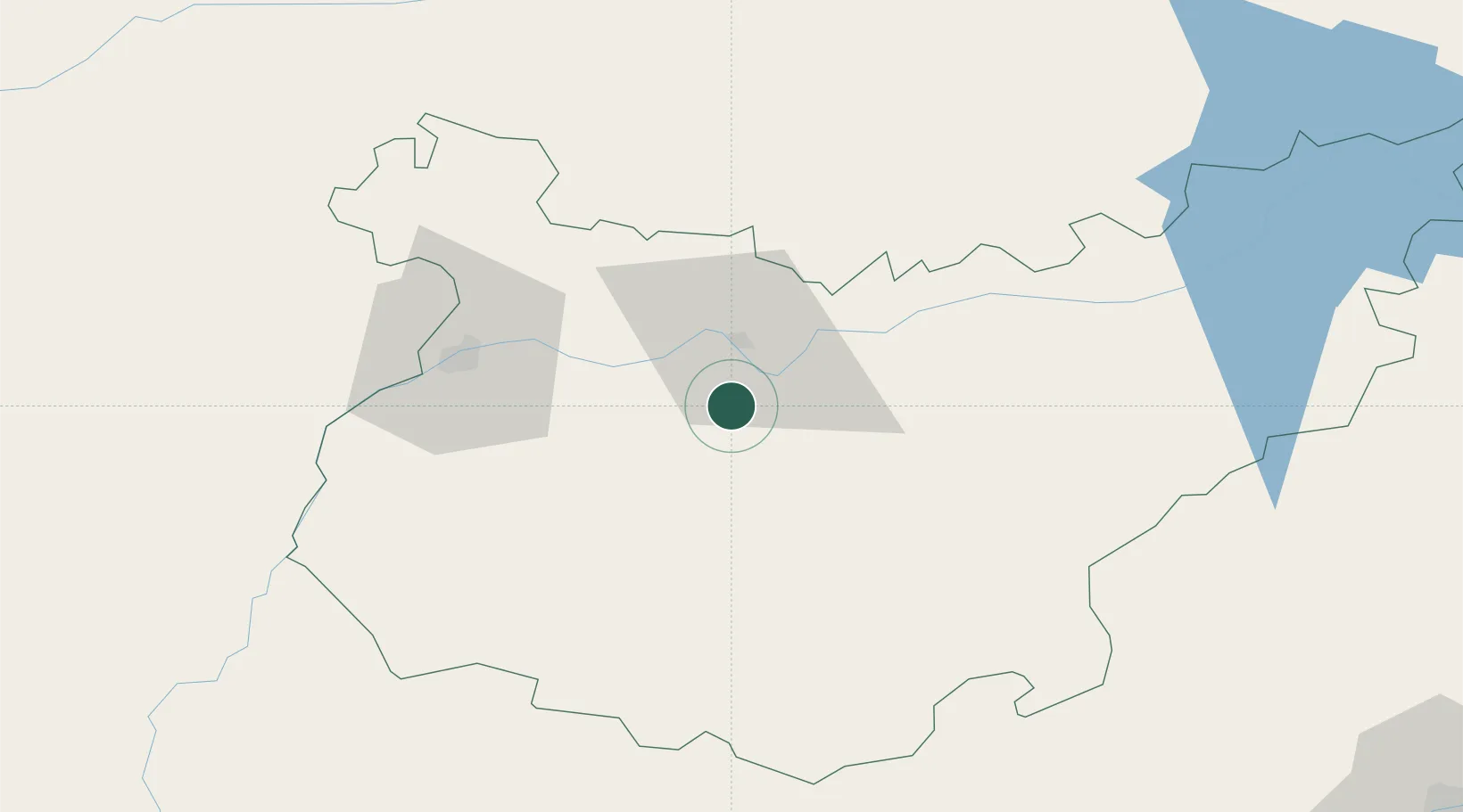
Hub Profile
Place type
Populated place
Region
Extremadura
Population
2,184
Time zone
Europe/Madrid
Elevation
305 m
Location
Nearby Logistics Neighbours
Cities
- 1Arroyo de San Servan10 km
- 2La Zarza14 km
- 3Lobon23 km
- 4Fuente del Maestre27 km
- 5Castropodame27 km
Ports
- 1Sevilla161 km
- 2Huelva178 km
- 3Vila Real De S Antonio200 km
- 4Setubal222 km
- 5Sines237 km
Airports
- 1Badajoz Airport41 km
- 2Estremoz Municipal Heliport108 km
- 3Évora Airfield135 km
- 4Madroñalejos Forest Fire fighting Heliport139 km
- 5Aerodromo de Castelo Branco150 km
Trade Zones
- 1Zona Franca de Sevilla164 km
- 2Puerto de Huelva177 km
- 3Depósito Franco de Málaga252 km
- 4Zona Franca de Cádiz254 km
- 5Depósito Franco de Madrid-Aeropuerto302 km
DatabookThe Record of Consolidated Knowledge
Spain beyond logistics?