Transport Functions
Multimodal
Hub Profile
Place type
District seat
Region
Canary Islands
Population
20,536
Time zone
Atlantic/Canary
Elevation
594 m
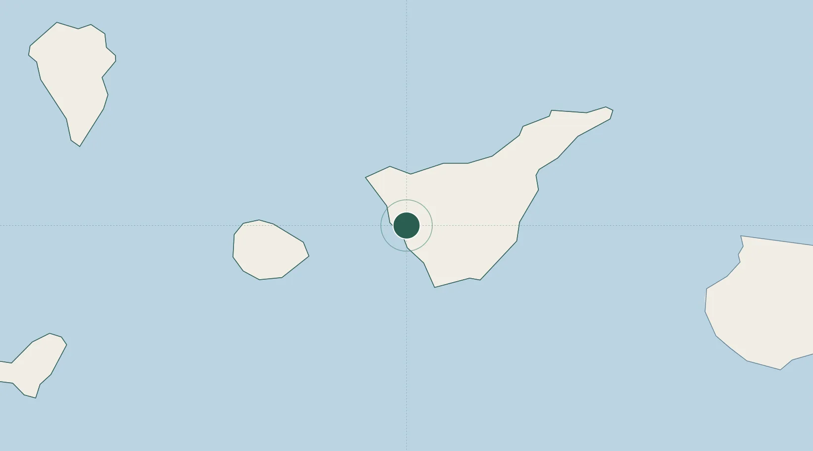
Location
Nearby Logistics Neighbours
Cities
- 1Playa San Juan4 km
- 2Santiago del Teide9 km
- 3Costa Adeje15 km
- 4Garachico19 km
- 5Buenavista del Norte22 km
Ports
- 1Santa Cruz De Tenerife62 km
- 2Santa Cruz De La Palma109 km
- 3Las Palmas134 km
- 4Puerto Del Rosario289 km
- 5Arrecife328 km
Airports
- 1Tenerife Sur Airport27 km
- 2La Gomera Airport46 km
- 3Tenerife Norte-Ciudad de La Laguna Airport53 km
- 4La Palma Airport106 km
- 5El Hierro Airport117 km
Trade Zones
DatabookThe Record of Consolidated Knowledge
Spain beyond logistics?