Transport Functions
Port
Hub Profile
Place type
District seat
Region
Canary Islands
Population
6,000
Time zone
Atlantic/Canary
Elevation
19 m
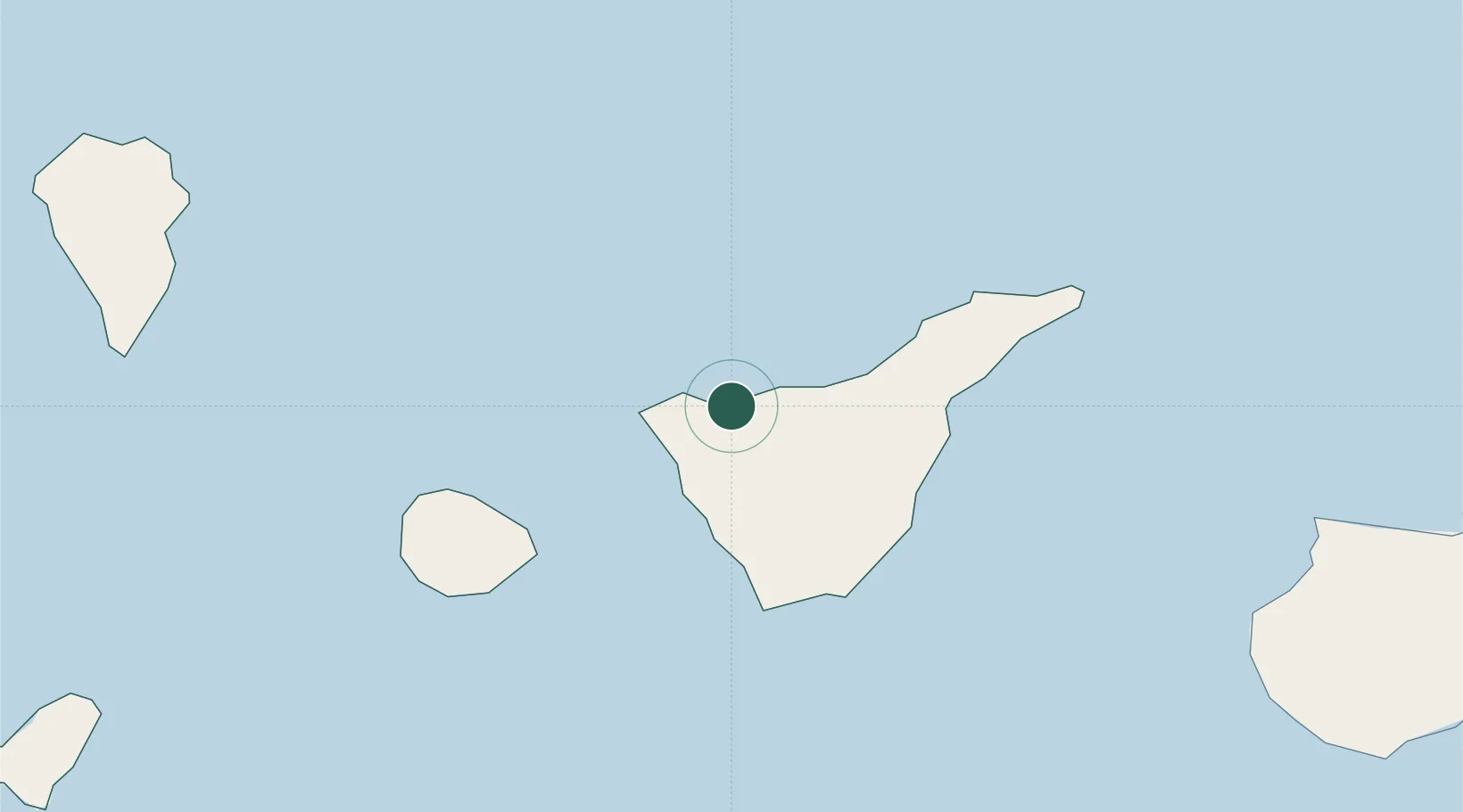
Location
Nearby Logistics Neighbours
Cities
- 1Santiago del Teide11 km
- 2Buenavista del Norte15 km
- 3Guía de Isora19 km
- 4Puerto de la Cruz20 km
- 5Playa San Juan23 km
Ports
- 1Santa Cruz De Tenerife52 km
- 2Santa Cruz De La Palma104 km
- 3Las Palmas133 km
- 4Puerto Del Rosario284 km
- 5Arrecife321 km
Airports
- 1Tenerife Sur Airport40 km
- 2Tenerife Norte-Ciudad de La Laguna Airport42 km
- 3La Gomera Airport59 km
- 4La Palma Airport102 km
- 5El Hierro Airport127 km
Trade Zones
DatabookThe Record of Consolidated Knowledge
Spain beyond logistics?