UN/LOCODE hub · Spain
ESZAT
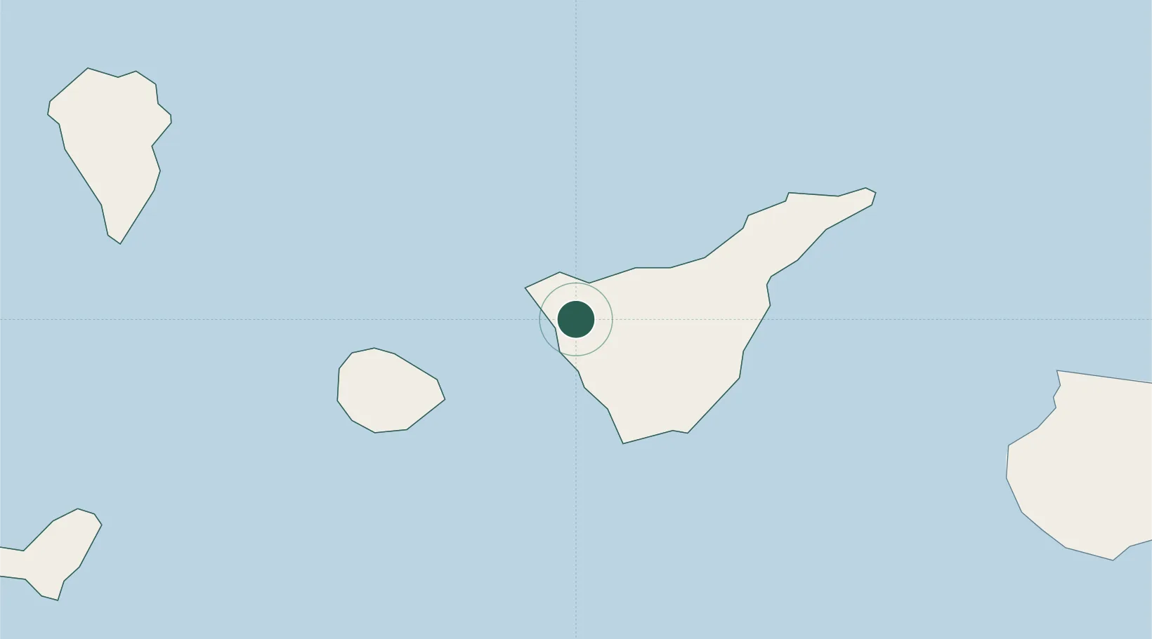
Santiago del Teide
28.2833°, -16.8000°
12,050
Population
1
Transport functions
Transport Functions
Multimodal
Hub Profile
Place type
District seat
Region
Canary Islands
Population
12,050
Time zone
Atlantic/Canary
Elevation
922 m
Location
Nearby Logistics Neighbours
Cities
- 1Guía de Isora9 km
- 2Garachico11 km
- 3Playa San Juan13 km
- 4Buenavista del Norte14 km
- 5Costa Adeje25 km
Ports
- 1Santa Cruz De Tenerife59 km
- 2Santa Cruz De La Palma103 km
- 3Las Palmas136 km
- 4Puerto Del Rosario290 km
- 5Arrecife327 km
Airports
- 1Tenerife Sur Airport35 km
- 2La Gomera Airport50 km
- 3Tenerife Norte-Ciudad de La Laguna Airport50 km
- 4La Palma Airport101 km
- 5El Hierro Airport119 km
Trade Zones
DatabookThe Record of Consolidated Knowledge
Spain beyond logistics?