Transport Functions
Port
Hub Profile
Region
TF
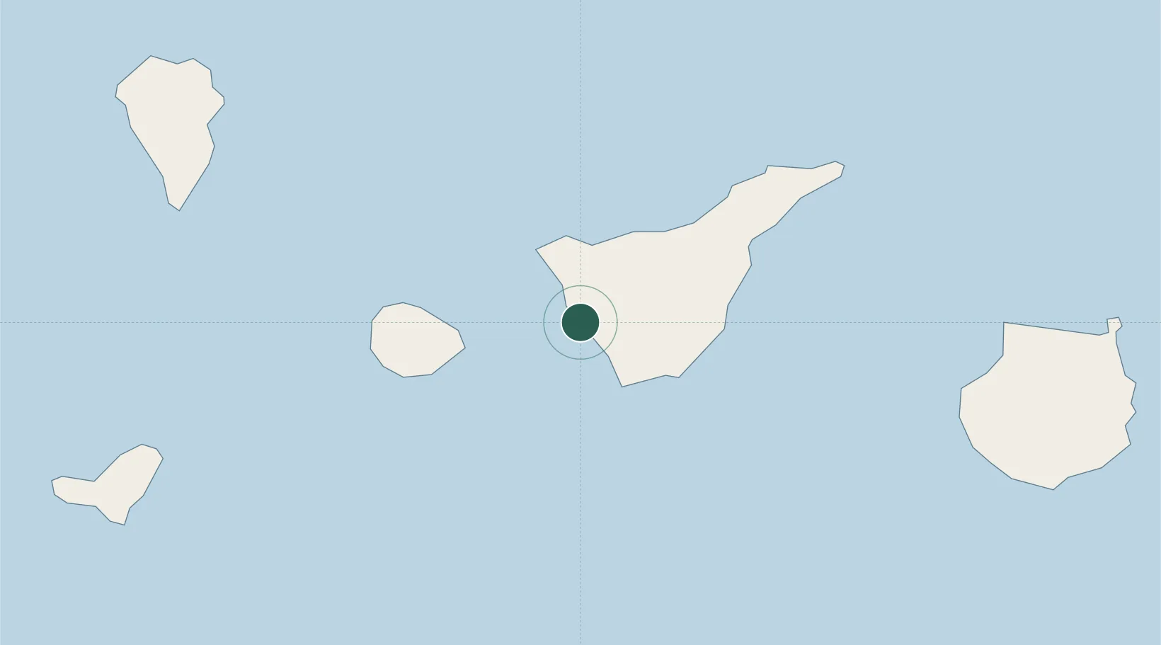
Location
Nearby Logistics Neighbours
Cities
- 1Guía de Isora4 km
- 2Costa Adeje12 km
- 3Santiago del Teide13 km
- 4Garachico23 km
- 5Las Galletas24 km
Ports
- 1Santa Cruz De Tenerife65 km
- 2Santa Cruz De La Palma109 km
- 3Las Palmas136 km
- 4Puerto Del Rosario291 km
- 5Arrecife331 km
Airports
- 1Tenerife Sur Airport26 km
- 2La Gomera Airport43 km
- 3Tenerife Norte-Ciudad de La Laguna Airport57 km
- 4La Palma Airport107 km
- 5El Hierro Airport114 km
Trade Zones
DatabookThe Record of Consolidated Knowledge
Spain beyond logistics?