Transport Functions
Port
Hub Profile
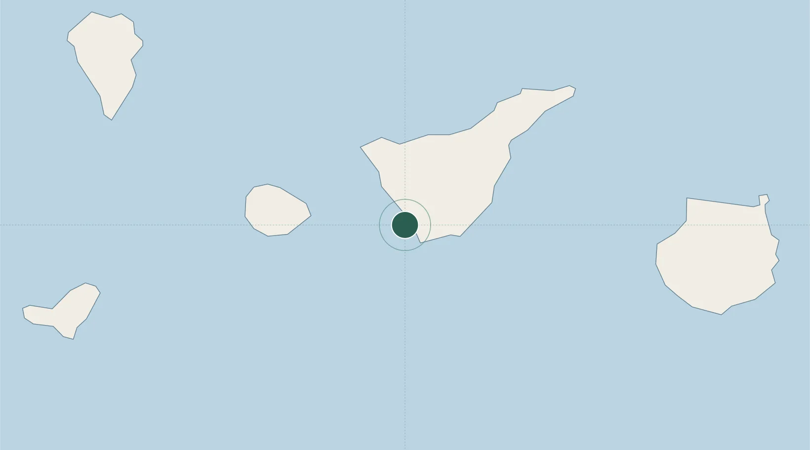
Place type
Populated place
Region
Canary Islands
Time zone
Atlantic/Canary
Elevation
46 m
Location
Nearby Logistics Neighbours
Cities
- 1Playa San Juan12 km
- 2Las Galletas12 km
- 3Guía de Isora15 km
- 4El Medano22 km
- 5Santiago del Teide25 km
Ports
- 1Santa Cruz De Tenerife67 km
- 2Santa Cruz De La Palma120 km
- 3Las Palmas131 km
- 4Puerto Del Rosario288 km
- 5Arrecife329 km
Airports
- 1Tenerife Sur Airport18 km
- 2La Gomera Airport46 km
- 3Tenerife Norte-Ciudad de La Laguna Airport61 km
- 4El Hierro Airport115 km
- 5La Palma Airport116 km
Trade Zones
DatabookThe Record of Consolidated Knowledge
Spain beyond logistics?