UN/LOCODE hub · Spain
ESBVN

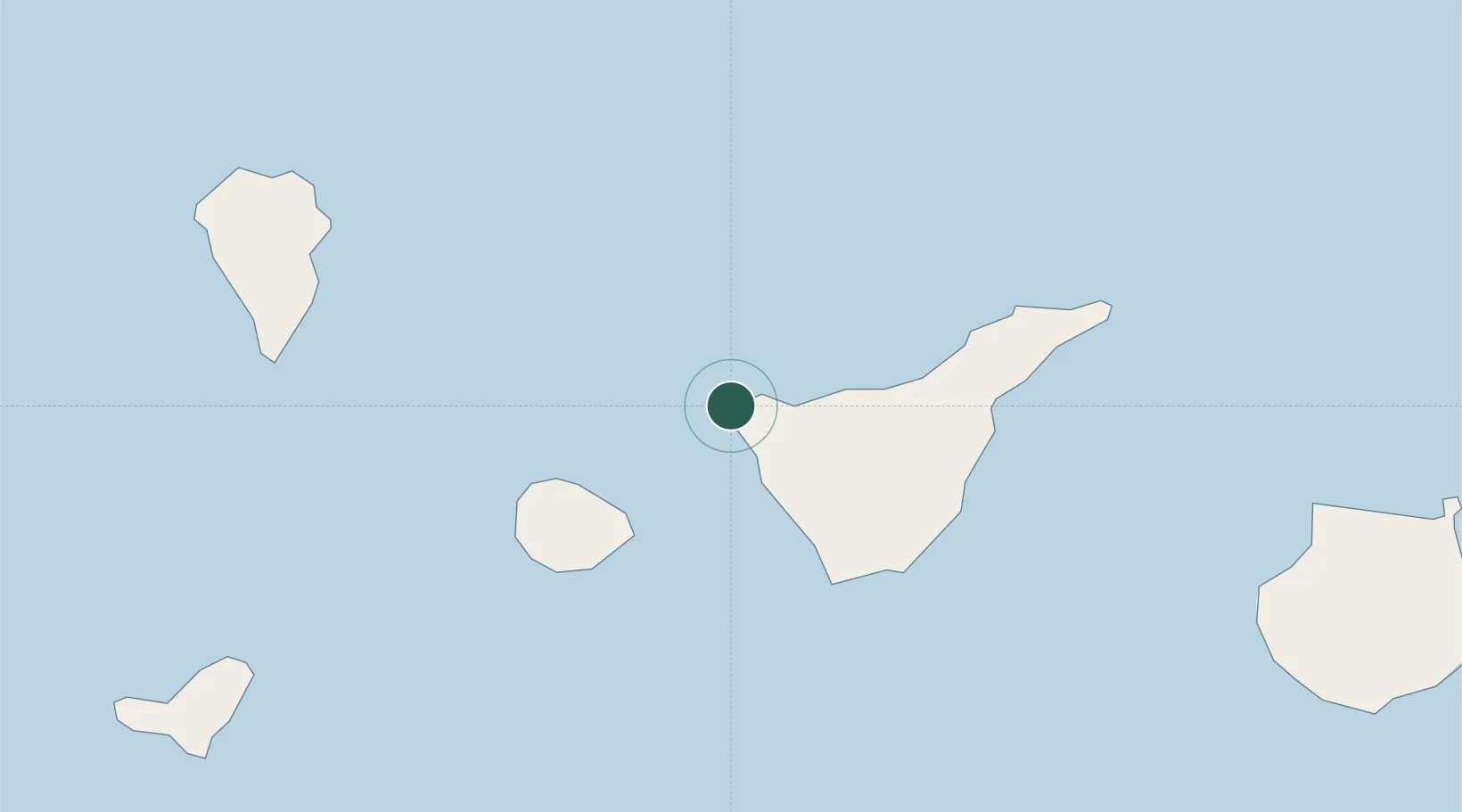
Buenavista del Norte

28.3667°, -16.9000°
5,231
Population
2
Transport functions

Transport Functions

Port
Road
UN/LOCODE

Hub Profile

Place type
District seat
GeoNames
Region
Canary Islands
GeoNames
Population
5,231
GeoNames
Time zone
Atlantic/Canary
GeoNames
Elevation
38 m
GeoNames

Location

Location of ESBVN
Natural Earth 10m (public domain) · Canary Islands · ESBVN · 28.37, -16.90GoogleOSMYandex

Nearby Logistics Neighbours

Cities
  1. 1Santiago del Teide14 km
  2. 2Garachico15 km
  3. 3Guía de Isora22 km
  4. 4Playa San Juan24 km
  5. 5Puerto de la Cruz35 km
Nearest neighbours — logibook spatial index (haversine) over the source coordinates
Ports
  1. 1Santa Cruz De Tenerife66 km
  2. 2Santa Cruz De La Palma90 km
  3. 3Las Palmas147 km
  4. 4Puerto Del Rosario299 km
  5. 5Arrecife335 km
Nearest neighbours — logibook spatial index (haversine) over the source coordinates
Airports
  1. 1Tenerife Sur Airport48 km
  2. 2La Gomera Airport49 km
  3. 3Tenerife Norte-Ciudad de La Laguna Airport56 km
  4. 4La Palma Airport89 km
  5. 5El Hierro Airport115 km
Nearest neighbours — logibook spatial index (haversine) over the source coordinates
Trade Zones
  1. 1Zona Franca de Tenerife65 km
  2. 2Zona Franca de Las Palmas de Gran Canaria148 km
  3. 3Centro Internacional De Negocios da Madeira476 km
  4. 4Bîr Oum Ghrïn Free Zone634 km
  5. 5Nouadibhou Free Zone829 km
Nearest neighbours — logibook spatial index (haversine) over the source coordinates
DatabookThe Record of Consolidated Knowledge
Spain beyond logistics?
Browse databook

All Sources

LocationsUN/LOCODE
UN/LOCODE — free
LocationsGeoNames
CC BY 4.0
Portsthe NGA World Port Index
Public domain (US gov)
AirportsOurAirports
Public domain
Trade Zonesthe World Bank SEZ database
CC BY 4.0
Trade ZonesOpen Zone Map
CC BY
← Spain locations