UN/LOCODE hub · Spain
ESZEA

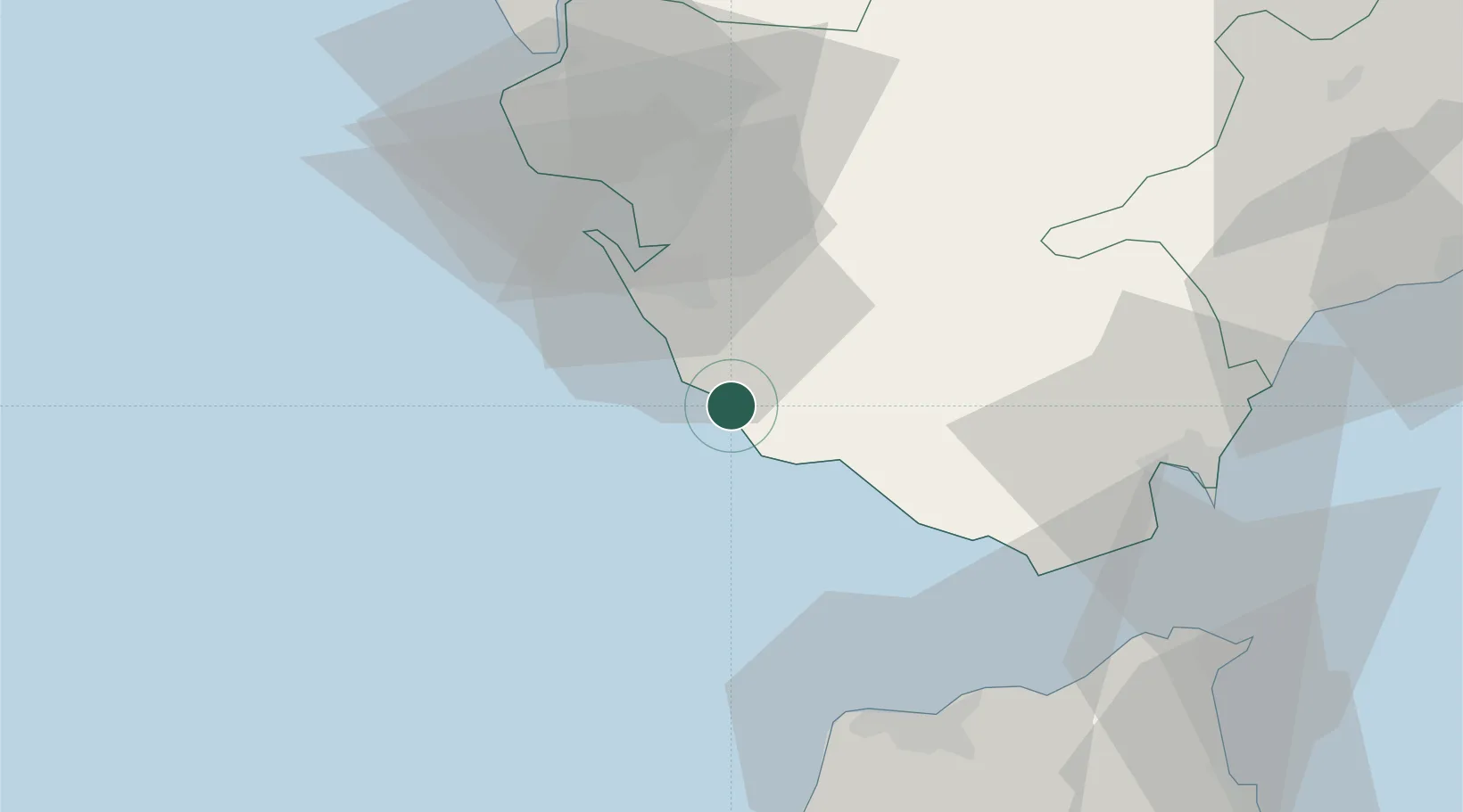
Conil de la Frontera

36.2667°, -6.0833°
22,427
Population
1
Transport functions

Transport Functions

Multimodal
UN/LOCODE

Hub Profile

Place type
District seat
GeoNames
Region
Andalusia
GeoNames
Population
22,427
GeoNames
Time zone
Europe/Madrid
GeoNames
Elevation
42 m
GeoNames

Location

Location of ESZEA
Natural Earth 10m (public domain) · Andalusia · ESZEA · 36.27, -6.08GoogleOSMYandex

Nearby Logistics Neighbours

Cities
  1. 1Barbate18 km
  2. 2San Fernando25 km
  3. 3Benalup27 km
  4. 4Zahara de los Atunes27 km
  5. 5Tahivilla31 km
Nearest neighbours — logibook spatial index (haversine) over the source coordinates
Ports
  1. 1Cadiz35 km
  2. 2Rota45 km
  3. 3Tanger59 km
  4. 4Algeciras60 km
  5. 5Tangier-Mediterranean65 km
Nearest neighbours — logibook spatial index (haversine) over the source coordinates
Airports
  1. 1Rota Naval Station Airport48 km
  2. 2Jerez Airport53 km
  3. 3Algeciras Heliport60 km
  4. 4Tangier Ibn Battuta Airport61 km
  5. 5Gibraltar Airport67 km
Nearest neighbours — logibook spatial index (haversine) over the source coordinates
Trade Zones
  1. 1Zona Franca de Cádiz31 km
  2. 2Depósito Franco de Algeciras60 km
  3. 3Tanger Free Export Zone63 km
  4. 4Tanger Med Ksar el Majaz Mellousa Freeport67 km
  5. 5Tanger Automotive City73 km
Nearest neighbours — logibook spatial index (haversine) over the source coordinates
DatabookThe Record of Consolidated Knowledge
Spain beyond logistics?
Browse databook

All Sources

LocationsUN/LOCODE
UN/LOCODE — free
LocationsGeoNames
CC BY 4.0
Portsthe NGA World Port Index
Public domain (US gov)
AirportsOurAirports
Public domain
Trade Zonesthe World Bank SEZ database
CC BY 4.0
Trade ZonesOpen Zone Map
CC BY
← Spain locations