Transport Functions
Multimodal
Hub Profile
Region
CA
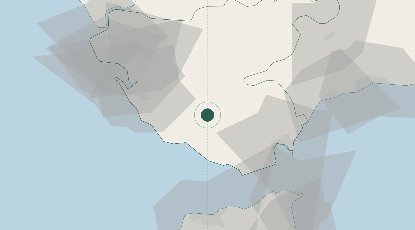
Location
Nearby Logistics Neighbours
Cities
- 1Tahivilla17 km
- 2Barbate20 km
- 3Zahara de los Atunes22 km
- 4Conil de la Frontera27 km
- 5San Jose del Valle31 km
Ports
- 1Algeciras40 km
- 2Cadiz50 km
- 3Tangier-Mediterranean55 km
- 4Rota57 km
- 5Tanger61 km
Airports
- 1Algeciras Heliport39 km
- 2Gibraltar Airport45 km
- 3Jerez Airport51 km
- 4Rota Naval Station Airport60 km
- 5Tomás Fernández Espada Airfield61 km
Trade Zones
DatabookThe Record of Consolidated Knowledge
Spain beyond logistics?