Transport Functions
Multimodal
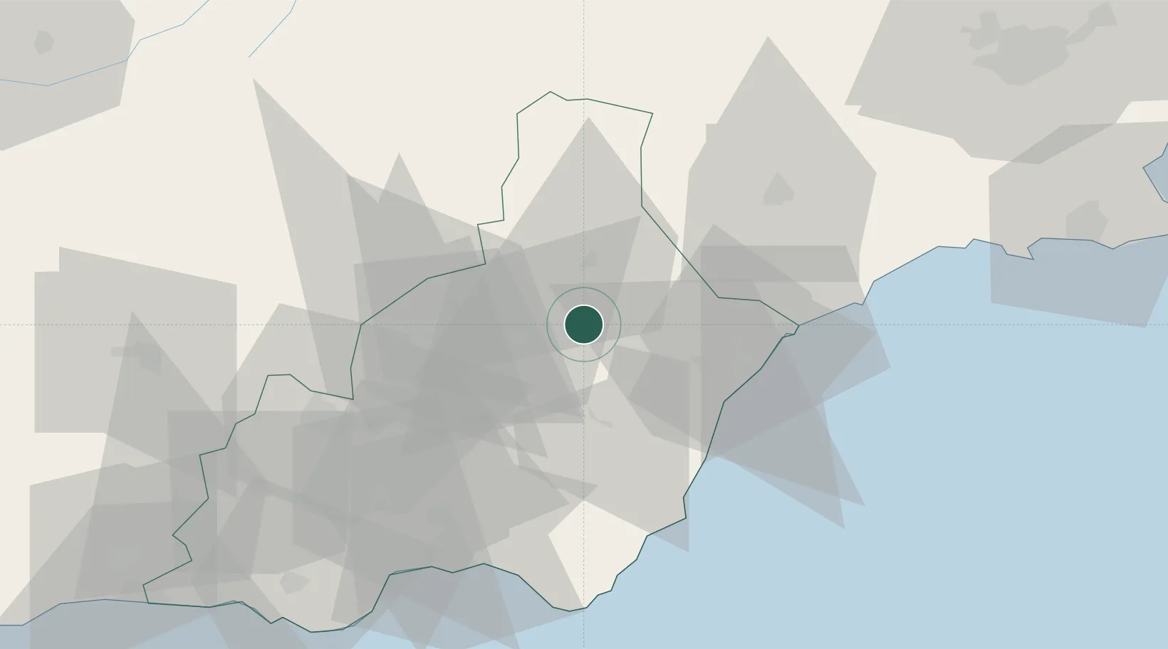
Hub Profile
Place type
District seat
Region
Andalusia
Population
11,178
Time zone
Europe/Madrid
Elevation
420 m
Location
Nearby Logistics Neighbours
Cities
- 1Huercal Overa16 km
- 2Lubrin19 km
- 3Antas25 km
- 4Vera28 km
- 5La Mojonera28 km
Ports
- 1Puerto De Garrucha36 km
- 2Puerto De Carboneras48 km
- 3Aguilas50 km
- 4Almeria68 km
- 5Cartagena104 km
Airports
- 1Almería Airport64 km
- 2Region of Murcia International Airport100 km
- 3Alcantarilla Air Base102 km
- 4San Javier Airport124 km
- 5Armilla Air Base136 km
Trade Zones
- 1Depósito Franco de Alicante179 km
- 2Depósito Franco de Málaga215 km
- 3Melilla Autonomous Community243 km
- 4Nador WestMed Free Zone256 km
- 5Berkane Agro-Pole271 km
DatabookThe Record of Consolidated Knowledge
Spain beyond logistics?