Transport Functions
Multimodal
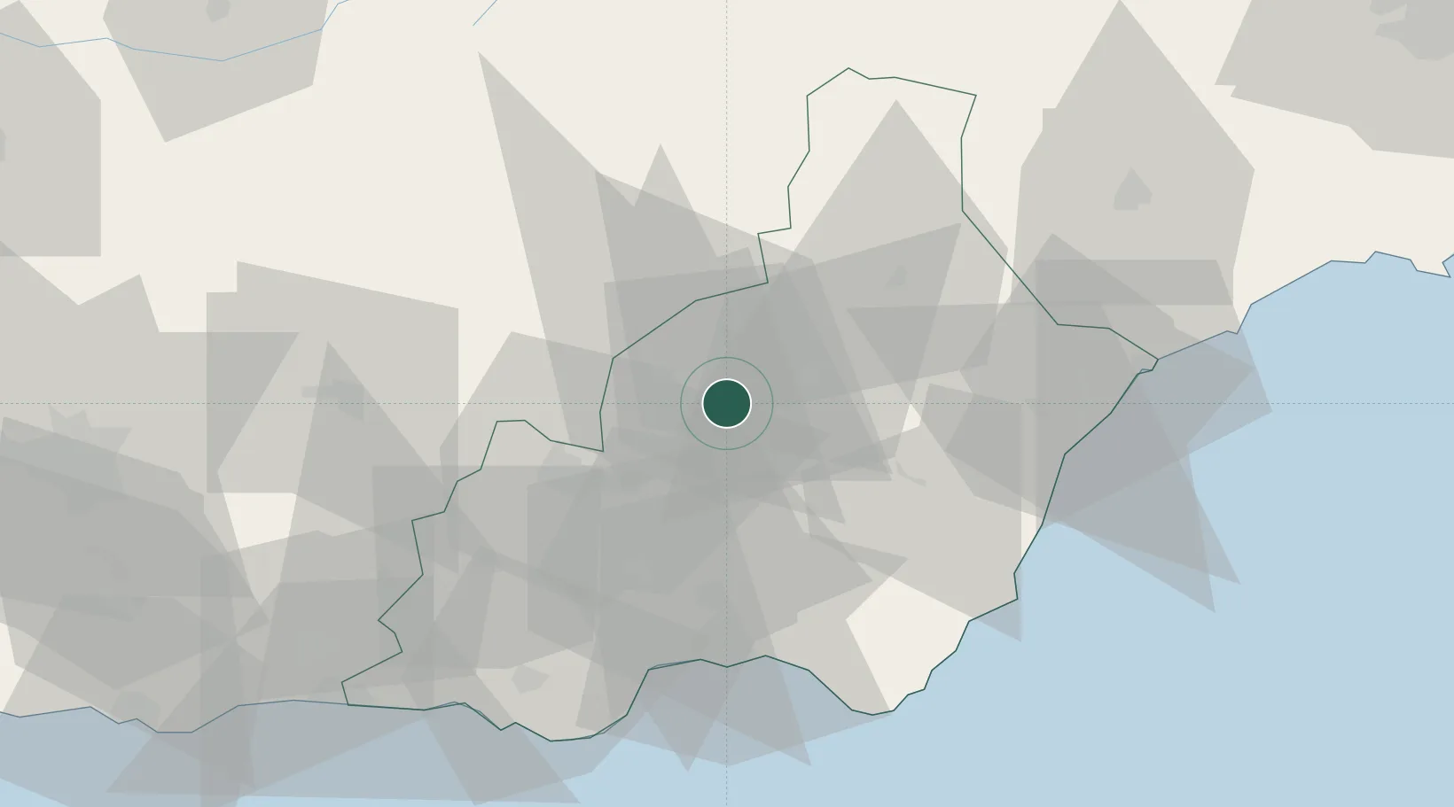
Hub Profile
Place type
Populated place
Region
Andalusia
Population
7,819
Time zone
Europe/Madrid
Elevation
1,106 m
Location
Nearby Logistics Neighbours
Cities
- 1Albox28 km
- 2Tabernas28 km
- 3Lubrin34 km
- 4Insticio40 km
- 5Huercal Overa44 km
Ports
- 1Almeria52 km
- 2Puerto De Garrucha56 km
- 3Puerto De Carboneras59 km
- 4Aguilas77 km
- 5Adra83 km
Airports
- 1Almería Airport51 km
- 2Armilla Air Base108 km
- 3F.G.L. Airport Granada-Jaén Airport120 km
- 4Region of Murcia International Airport128 km
- 5Alcantarilla Air Base128 km
Trade Zones
- 1Depósito Franco de Málaga188 km
- 2Depósito Franco de Alicante206 km
- 3Melilla Autonomous Community228 km
- 4Nador WestMed Free Zone239 km
- 5Berkane Agro-Pole261 km
DatabookThe Record of Consolidated Knowledge
Spain beyond logistics?